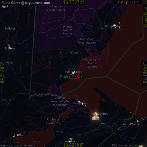
Punta Gorda night lights from space
Night Light of Punta Gorda (Toledo) from space (Belize) Src. Average luminocity for 10x10km area is 5.845% and for 50x50km: 0.2822%.
Analysis of Punta Gorda night lights 2016
Square area 10x10 km:
 0.41%
0.41%90-99
0.41%80-89
1.65%70-79
0.83%60-69
0.83%50-59
0.21%40-49
1.45%30-39
2.48%20-29
0%10-19
0%0-9
91.74%Square area 50x50 km:
0.02%90-99
0.02%80-89
0.07%70-79
0.03%60-69
0.03%50-59
0.01%40-49
0.09%30-39
0.1%20-29
0.05%10-19
0.07%0-9
99.52%Clear (daylight) street map image can be seen on geolist.org.
Map coordinates:
16° 46' 21.9" North, 89° 30' 46.2" West
16° 5' 54.1" North, 88° 48' 34.9" West
15° 25' 18" North, 88° 6' 23.7" West
Some cities around Punta Gorda sort by population:
• Puerto Barrios, GT
47.2 km =29.3 mi,  150°
150°
• Morales, GT
69.7 km =43.3 mi,  182°
182°
• Poptún, GT
69.8 km =43.4 mi,  291°
291°
• El Estor, GT
84.1 km =52.3 mi,  221°
221°
• Lívingston, GT
30.7 km =19.1 mi,  168°
168°
• Dolores, GT
79.5 km =49.4 mi,  305°
305°
• San Luis, GT
68.3 km =42.4 mi,  279°
279°
• Cuyamel, HN
81 km =50.3 mi,  126°
126°
3581398 (p: 5,205)
Sources (retrieved 2019-11-25):
» Earth at Night: Flat Maps 2012, 2016