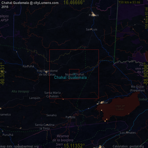
Chahal Guatemala night lights from space
Night Light of Chahal Guatemala (Alta Verapaz) from space (Guatemala) Src. Average luminocity for 10x10km area is 0.119% and for 50x50km: 0.0048%.
Analysis of Chahal Guatemala night lights 2016
Square area 10x10 km:
 0%
0%90-99
0%80-89
0%70-79
0%60-69
0%50-59
0%40-49
0%30-39
0%20-29
0%10-19
0.87%0-9
99.13%Square area 50x50 km:
0%90-99
0%80-89
0%70-79
0%60-69
0%50-59
0%40-49
0%30-39
0%20-29
0%10-19
0.03%0-9
99.97%Clear (daylight) street map image can be seen on geolist.org.
Map coordinates:
16° 27' 60" North, 90° 18' 29.9" West
15° 47' 28.4" North, 89° 36' 18.6" West
15° 6' 48.7" North, 88° 54' 7.4" West
Some cities around Chahal Guatemala sort by population:
• Panzós
44 km =27.3 mi,  188°
188°
• Gualán
79.3 km =49.3 mi,  160°
160°
• Poptún
63.3 km =39.3 mi,  18°
18°
• Chisec
72.6 km =45.1 mi,  272°
272°
• El Estor
41.1 km =25.5 mi,  134°
134°
• San Pedro Carchá
78.7 km =48.9 mi,  244°
244°
• San Luis
48.6 km =30.2 mi, 21°
• Senahú
49.9 km =31 mi,  209°
209°
3598825 (p: 7,465)
Sources (retrieved 2019-11-25):
» Earth at Night: Flat Maps 2012, 2016