Dolores night lights from space
Night Light of Dolores (Petén) from space (Guatemala) Src. Average luminocity for 10x10km area is 0.8884% and for 50x50km: 0.3524%.
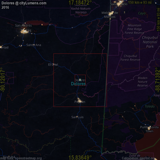
Analysis of Dolores night lights 2016
Square area 10x10 km:
 0%
0%90-99
0%80-89
0%70-79
0.83%60-69
0%50-59
0%40-49
0%30-39
0.41%20-29
0.41%10-19
0%0-9
98.35%Square area 50x50 km:
0%90-99
0.01%80-89
0.07%70-79
0.07%60-69
0%50-59
0.13%40-49
0.09%30-39
0.14%20-29
0.07%10-19
0.03%0-9
99.39%Clear (daylight) street map image can be seen on geolist.org.
Map coordinates:
17° 11' 5" North, 90° 7' 12.6" West
16° 30' 42.4" North, 89° 25' 1.3" West
15° 50' 11.4" North, 88° 42' 50.1" West
Some cities around Dolores sort by population:
• San Benito
69.9 km =43.4 mi,  310°
310°
• Flores
68.7 km =42.7 mi, 311°
• Poptún
20.1 km =12.5 mi,  179°
179°
• Melchor de Mencos
67.8 km =42.1 mi,  24°
24°
• Santa Ana
54.7 km =34 mi, 305°
• San Andrés
73.4 km =45.6 mi, 313°
• Benque Viejo el Carmen, BZ
69.3 km =43.1 mi,  25°
25°
• San Luis
34.9 km =21.7 mi, 184°
3597722 (p: 10,604)
Sources (retrieved 2019-11-25):
» Earth at Night: Flat Maps 2012, 2016