Flores night lights from space
Night Light of Flores (Petén) from space (Guatemala) Src. Average luminocity for 10x10km area is 22.3139% and for 50x50km: 1.432%.
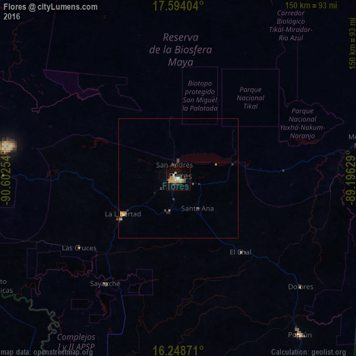
Analysis of Flores night lights 2016
Square area 10x10 km:
 0.87%
0.87%90-99
4.11%80-89
2.38%70-79
9.96%60-69
0%50-59
0.65%40-49
3.68%30-39
2.16%20-29
3.03%10-19
11.47%0-9
61.69%Square area 50x50 km:
0.03%90-99
0.18%80-89
0.13%70-79
0.5%60-69
0.08%50-59
0.08%40-49
0.32%30-39
0.31%20-29
0.26%10-19
0.51%0-9
97.6%Clear (daylight) street map image can be seen on geolist.org.
Map coordinates:
17° 35' 38.5" North, 90° 36' 9.1" West
16° 55' 21.3" North, 89° 53' 57.9" West
16° 14' 55.4" North, 89° 11' 46.6" West
Some cities around Flores sort by population:
• San Benito
2.2 km =1.4 mi,  252°
252°
• Melchor de Mencos
81 km =50.3 mi,  78°
78°
• Dolores
68.7 km =42.7 mi,  131°
131°
• Santa Ana
15.3 km =9.5 mi,  152°
152°
• Sayaxché
53.9 km =33.5 mi,  214°
214°
• La Libertad
27.5 km =17.1 mi,  237°
237°
• San Andrés
5.2 km =3.2 mi,  339°
339°
• Benque Viejo el Carmen, BZ
82.6 km =51.3 mi, 78°
3595725 (p: 20,464)
Sources (retrieved 2019-11-25):
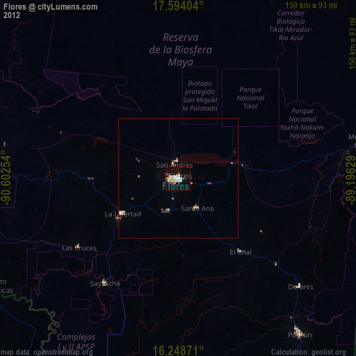
» Earth at Night: Flat Maps 2012, 2016