Jutiapa night lights from space
Night Light of Jutiapa from space (Guatemala) Src. Average luminocity for 10x10km area is 16.1039% and for 50x50km: 1.7694%.
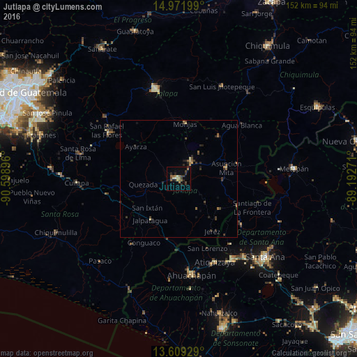
Analysis of Jutiapa night lights 2016
Square area 10x10 km:
 0%
0%90-99
1.95%80-89
1.52%70-79
1.3%60-69
2.81%50-59
5.41%40-49
2.81%30-39
4.11%20-29
4.76%10-19
1.73%0-9
73.59%Square area 50x50 km:
0%90-99
0.08%80-89
0.25%70-79
0.23%60-69
0.24%50-59
0.41%40-49
0.46%30-39
0.53%20-29
0.64%10-19
0.35%0-9
96.81%Clear (daylight) street map image can be seen on geolist.org.
Map coordinates:
14° 58' 19.2" North, 90° 35' 56.3" West
14° 17' 30" North, 89° 53' 45" West
13° 36' 33.4" North, 89° 11' 33.8" West
Some cities around Jutiapa sort by population:
• Asunción Mita
20.4 km =12.7 mi,  77°
77°
• Atescatempa
21 km =13 mi,  128°
128°
• Santa Catarina Mita
23.6 km =14.7 mi,  41°
41°
• Jalpatagua
20.6 km =12.8 mi,  216°
216°
• Monjas
23.4 km =14.5 mi,  7°
7°
• Oratorio
31 km =19.3 mi,  256°
256°
• El Progreso
8.2 km =5.1 mi, 37°
• San José Acatempa
25.1 km =15.6 mi, 263°
3595069 (p: 34,332)
Sources (retrieved 2019-11-25):
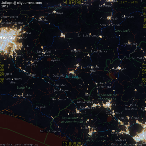
» Earth at Night: Flat Maps 2012, 2016