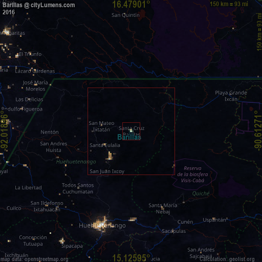
Barillas night lights from space
Night Light of Barillas (Huehuetenango) from space (Guatemala) Src. Average luminocity for 10x10km area is 1.8506% and for 50x50km: 0.5134%.
Analysis of Barillas night lights 2016
Square area 10x10 km:
 0%
0%90-99
0%80-89
0.87%70-79
0%60-69
0.43%50-59
0.43%40-49
0%30-39
0.43%20-29
1.3%10-19
0%0-9
96.54%Square area 50x50 km:
0%90-99
0.03%80-89
0.06%70-79
0.14%60-69
0.09%50-59
0.12%40-49
0.03%30-39
0.11%20-29
0.21%10-19
0.1%0-9
99.1%Clear (daylight) street map image can be seen on geolist.org.
Map coordinates:
16° 28' 44.4" North, 92° 1' 8.3" West
15° 48' 13" North, 91° 18' 57" West
15° 7' 33.4" North, 90° 36' 45.8" West
Some cities around Barillas sort by population:
• Jacaltenango
45 km =28 mi,  250°
250°
• Nebaj
47.8 km =29.7 mi,  157°
157°
• San Mateo Ixtatán
17.6 km =10.9 mi,  280°
280°
• Chajul
46.4 km =28.8 mi,  139°
139°
• San Juan Cotzal
51 km =31.7 mi, 143°
• Soloma
20.2 km =12.6 mi,  217°
217°
• Concepción Huista
42.4 km =26.3 mi,  241°
241°
• San Luis Ixcán
23.7 km =14.7 mi,  94°
94°
3599575 (p: 14,100)
Sources (retrieved 2019-11-25):
» Earth at Night: Flat Maps 2012, 2016