Komotiní night lights from space
Night Light of Komotiní (East Macedonia and Thrace) from space (Greece) Src. Average luminocity for 10x10km area is 31.4854% and for 50x50km: 2.7854%.
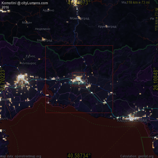
Analysis of Komotiní night lights 2016
Square area 10x10 km:
 4.22%
4.22%90-99
6.49%80-89
2.76%70-79
3.73%60-69
2.27%50-59
6.01%40-49
2.27%30-39
4.22%20-29
7.63%10-19
42.21%0-9
18.18%Square area 50x50 km:
0.25%90-99
0.49%80-89
0.21%70-79
0.3%60-69
0.33%50-59
0.41%40-49
0.32%30-39
0.5%20-29
0.82%10-19
2.12%0-9
94.26%Clear (daylight) street map image can be seen on geolist.org.
Map coordinates:
41° 38' 48.2" North, 24° 42' 8" East
41° 7' 9" North, 25° 24' 19.3" East
40° 35' 14.4" North, 26° 6' 30.5" East
Some cities around Komotiní sort by population:
• Alexandroupoli
49.6 km =30.8 mi,  127°
127°
• Kardzhali, BG
59.1 km =36.7 mi,  356°
356°
• Xánthi
43.4 km =27 mi,  272°
272°
• Chrysoúpolis
61.5 km =38.2 mi,  256°
256°
• Zlatograd, BG
38.8 km =24.1 mi,  318°
318°
• Madan, BG
57.4 km =35.7 mi, 317°
• Krumovgrad, BG
44.4 km =27.6 mi,  28°
28°
• Nedelino, BG
46.3 km =28.8 mi, 324°
735640 (p: 45,631)
Sources (retrieved 2019-11-25):
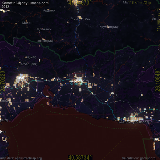
» Earth at Night: Flat Maps 2012, 2016