Péfki night lights from space
Night Light of Péfki (Attica) from space (Greece) Src. Average luminocity for 10x10km area is 98.0325% and for 50x50km: 46.8925%.
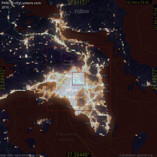
Analysis of Péfki night lights 2016
Square area 10x10 km:
 69.16%
90-99
24.51%80-89
3.08%70-79
1.95%60-69
1.3%50-59
0%40-49
0%30-39
0%20-29
0%10-19
0%0-9
0%Square area 50x50 km:
13.04%90-99
10.55%80-89
4.82%70-79
6.44%60-69
6.39%50-59
4.68%40-49
5.05%30-39
4.72%20-29
8.23%10-19
11.4%0-9
24.66%Clear (daylight) street map image can be seen on geolist.org.
Map coordinates:
38° 36' 42.2" North, 23° 5' 22.3" East
38° 3' 36.7" North, 23° 47' 33.5" East
37° 30' 16.1" North, 24° 29' 44.8" East
Some cities around Péfki sort by population:
• Khalándrion
4.1 km =2.5 mi,  170°
170°
• Maroúsi
1.3 km =0.8 mi,  150°
150°
• Irákleio
2.5 km =1.6 mi,  251°
251°
• Kifisiá
2.3 km =1.4 mi,  45°
45°
• Metamórfosi
2.6 km =1.6 mi,  283°
283°
• Melíssia
3.7 km =2.3 mi,  107°
107°
• Lykóvrysi
1.4 km =0.9 mi,  318°
318°
• Filothéi
4 km =2.5 mi,  192°
192°
8358562 (p: 21,352)
Sources (retrieved 2019-11-25):
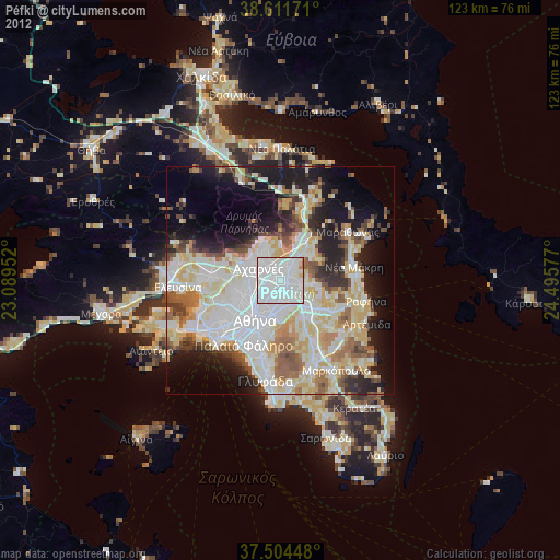
» Earth at Night: Flat Maps 2012, 2016