Árta night lights from space
Night Light of Árta (Epirus) from space (Greece) Src. Average luminocity for 10x10km area is 35.3604% and for 50x50km: 5.5844%.
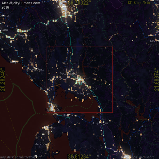
Analysis of Árta night lights 2016
Square area 10x10 km:
 2.44%
2.44%90-99
5.68%80-89
6.66%70-79
5.36%60-69
6.01%50-59
2.27%40-49
3.41%30-39
6.49%20-29
6.98%10-19
47.89%0-9
6.82%Square area 50x50 km:
0.24%90-99
0.52%80-89
0.65%70-79
0.97%60-69
1.06%50-59
0.63%40-49
0.63%30-39
1.09%20-29
1.38%10-19
4.44%0-9
88.39%Clear (daylight) street map image can be seen on geolist.org.
Map coordinates:
39° 42' 11.6" North, 20° 16' 57" East
39° 9' 36.5" North, 20° 59' 8.2" East
38° 36' 46.2" North, 21° 41' 19.5" East
Some cities around Árta sort by population:
• Ioánnina
57.3 km =35.6 mi,  348°
348°
• Agrínio
70.2 km =43.6 mi,  148°
148°
• Préveza
30.4 km =18.9 mi,  221°
221°
• Anatolí
53.8 km =33.4 mi, 348°
• Igoumenítsa
72.6 km =45.1 mi,  301°
301°
• Lefkáda
44 km =27.3 mi,  213°
213°
• Karpenísi
75.4 km =46.9 mi,  111°
111°
• Áyios Konstandínos
68.7 km =42.7 mi, 148°
264559 (p: 21,895)
Sources (retrieved 2019-11-25):
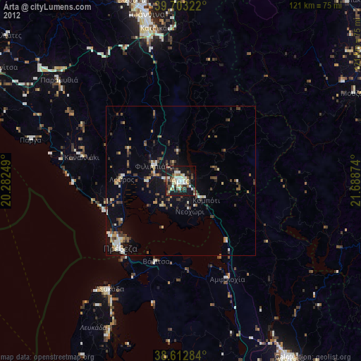
» Earth at Night: Flat Maps 2012, 2016