Anatolí night lights from space
Night Light of Anatolí (Epirus) from space (Greece) Src. Average luminocity for 10x10km area is 54.2825% and for 50x50km: 6.4373%.
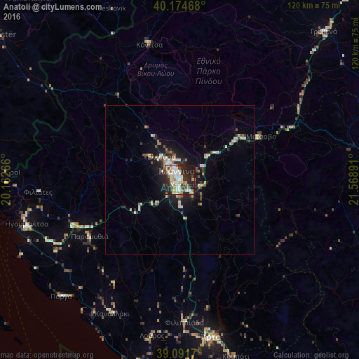
Analysis of Anatolí night lights 2016
Square area 10x10 km:
 9.9%
9.9%90-99
14.29%80-89
7.95%70-79
6.82%60-69
9.09%50-59
1.14%40-49
5.36%30-39
5.03%20-29
24.35%10-19
15.75%0-9
0.32%Square area 50x50 km:
0.6%90-99
1.52%80-89
0.63%70-79
0.72%60-69
0.84%50-59
0.38%40-49
0.69%30-39
0.9%20-29
2.21%10-19
4.45%0-9
87.07%Clear (daylight) street map image can be seen on geolist.org.
Map coordinates:
40° 10' 28.8" North, 20° 9' 45.6" East
39° 38' 7.1" North, 20° 51' 56.8" East
39° 5' 30.1" North, 21° 34' 8.1" East
Some cities around Anatolí sort by population:
• Ioánnina
3.5 km =2.2 mi,  340°
340°
• Tríkala
77.8 km =48.3 mi,  96°
96°
• Árta
53.8 km =33.4 mi,  168°
168°
• Préveza
76.2 km =47.3 mi,  187°
187°
• Sarandë, AL
78.3 km =48.7 mi,  289°
289°
• Grevená
69.2 km =43 mi,  43°
43°
• Igoumenítsa
53.4 km =33.2 mi,  254°
254°
• Kalampáka
65.6 km =40.8 mi,  83°
83°
265107 (p: 9,798)
Sources (retrieved 2019-11-25):
» Earth at Night: Flat Maps 2012, 2016