Agrínio night lights from space
Night Light of Agrínio (West Greece) from space (Greece) Src. Average luminocity for 10x10km area is 38.7338% and for 50x50km: 3.9232%.
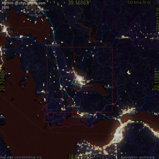
Analysis of Agrínio night lights 2016
Square area 10x10 km:
 4.71%
4.71%90-99
6.17%80-89
4.55%70-79
5.52%60-69
8.6%50-59
4.22%40-49
3.57%30-39
8.12%20-29
9.25%10-19
37.01%0-9
8.28%Square area 50x50 km:
0.21%90-99
0.39%80-89
0.49%70-79
0.51%60-69
0.72%50-59
0.42%40-49
0.54%30-39
1.09%20-29
0.83%10-19
2.91%0-9
91.88%Clear (daylight) street map image can be seen on geolist.org.
Map coordinates:
39° 10' 7.1" North, 20° 42' 16.8" East
38° 37' 17" North, 21° 24' 28" East
38° 4' 11.8" North, 22° 6' 39.3" East
Some cities around Agrínio sort by population:
• Pátra
50.7 km =31.5 mi,  145°
145°
• Náfpaktos
44.6 km =27.7 mi,  124°
124°
• Mesolóngi
27.9 km =17.3 mi,  175°
175°
• Karpenísi
46.8 km =29.1 mi,  46°
46°
• Áyios Konstandínos
1.5 km =0.9 mi,  331°
331°
• Paralía
53.6 km =33.3 mi, 151°
• Ovriá
55.7 km =34.6 mi, 149°
• Káto Achaḯa
53.9 km =33.5 mi,  166°
166°
265560 (p: 46,899)
Sources (retrieved 2019-11-25):
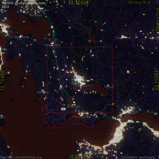
» Earth at Night: Flat Maps 2012, 2016