Acharnés night lights from space
Night Light of Acharnés (Attica) from space (Greece) Src. Average luminocity for 10x10km area is 92.138% and for 50x50km: 47.8139%.
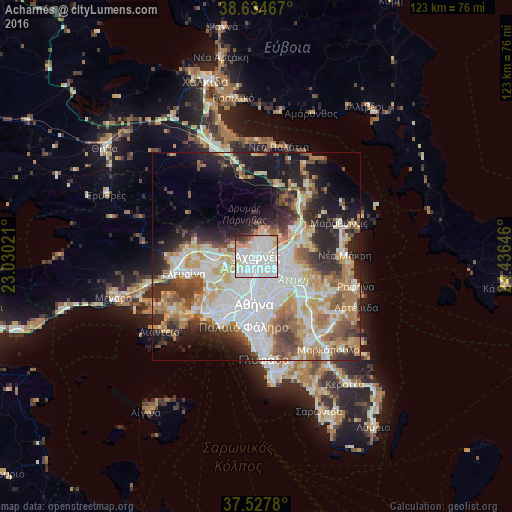
Analysis of Acharnés night lights 2016
Square area 10x10 km:
 55.68%
90-99
24.35%80-89
3.73%70-79
6.49%60-69
2.76%50-59
2.27%40-49
2.11%30-39
1.95%20-29
0.65%10-19
0%0-9
0%Square area 50x50 km:
12.96%90-99
10.49%80-89
5.03%70-79
6.53%60-69
6.9%50-59
4.86%40-49
5.28%30-39
5.42%20-29
8.84%10-19
11.42%0-9
22.28%Clear (daylight) street map image can be seen on geolist.org.
Map coordinates:
38° 38' 4.8" North, 23° 1' 48.8" East
38° 4' 60" North, 23° 43' 60" East
37° 31' 40.1" North, 24° 26' 11.3" East
Some cities around Acharnés sort by population:
• Irákleio
4.4 km =2.7 mi,  140°
140°
• Áno Liósia
2.9 km =1.8 mi,  270°
270°
• Metamórfosi
3.3 km =2.1 mi,  126°
126°
• Kamaterón
3.9 km =2.4 mi,  218°
218°
• Néa Filadélfeia
5.4 km =3.4 mi,  175°
175°
• Lykóvrysi
4.6 km =2.9 mi,  109°
109°
• Zefyri
2.4 km =1.5 mi, 217°
• Thrakomakedónes
5.6 km =3.5 mi,  22°
22°
265488 (p: 99,346)
Sources (retrieved 2019-11-25):
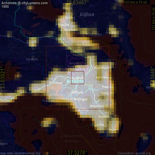
» NASA, Earths city lights 1995
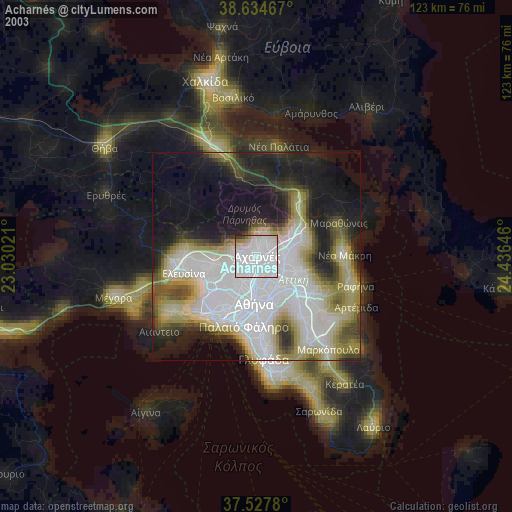
» NASA city lights 2003
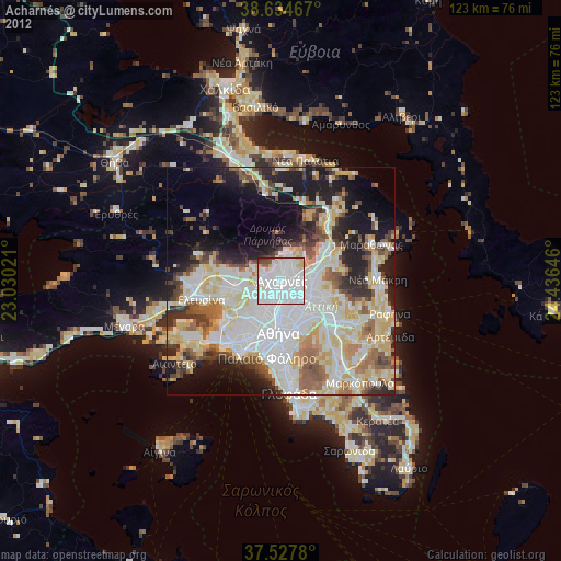
» Earth at Night: Flat Maps 2012, 2016