Néa Filadélfeia night lights from space
Night Light of Néa Filadélfeia (Attica) from space (Greece) Src. Average luminocity for 10x10km area is 99.5162% and for 50x50km: 49.1979%.
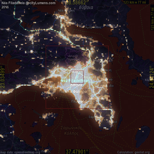
Analysis of Néa Filadélfeia night lights 2016
Square area 10x10 km:
 86.36%
90-99
12.34%80-89
0.65%70-79
0.65%60-69
0%50-59
0%40-49
0%30-39
0%20-29
0%10-19
0%0-9
0%Square area 50x50 km:
13.39%90-99
11.03%80-89
5.17%70-79
6.84%60-69
7.39%50-59
5%40-49
5.35%30-39
5.52%20-29
9.15%10-19
8.63%0-9
22.53%Clear (daylight) street map image can be seen on geolist.org.
Map coordinates:
38° 35' 11.8" North, 23° 2' 6" East
38° 2' 5.7" North, 23° 44' 17.2" East
37° 28' 44.4" North, 24° 26' 28.5" East
Some cities around Néa Filadélfeia sort by population:
• Ílion
3.3 km =2.1 mi,  266°
266°
• Néa Ionía
1.7 km =1.1 mi,  87°
87°
• Galátsi
2.3 km =1.4 mi,  152°
152°
• Irákleio
3.1 km =1.9 mi,  50°
50°
• Ágioi Anárgyroi
1.4 km =0.9 mi,  247°
247°
• Kamaterón
3.7 km =2.3 mi,  308°
308°
• Néa Chalkidóna
1.1 km =0.7 mi,  217°
217°
• Psychikó
3.8 km =2.4 mi,  128°
128°
256621 (p: 25,734)
Sources (retrieved 2019-11-25):
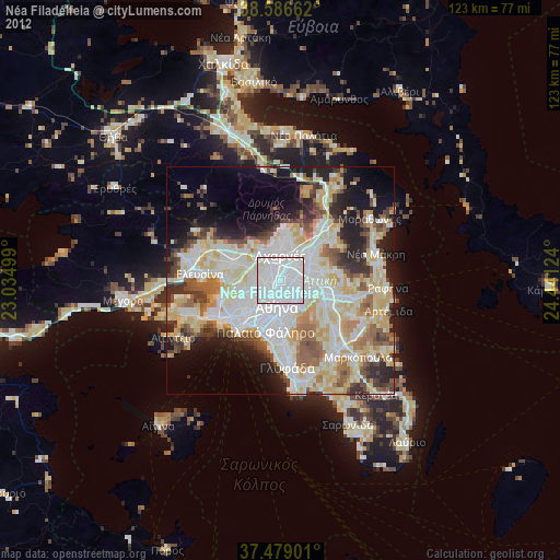
» Earth at Night: Flat Maps 2012, 2016