Kamaterón night lights from space
Night Light of Kamaterón (Attica) from space (Greece) Src. Average luminocity for 10x10km area is 94.888% and for 50x50km: 47.4179%.
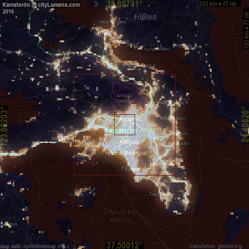
Analysis of Kamaterón night lights 2016
Square area 10x10 km:
 58.93%
90-99
20.62%80-89
10.23%70-79
7.95%60-69
0.65%50-59
1.3%40-49
0.32%30-39
0%20-29
0%10-19
0%0-9
0%Square area 50x50 km:
13.15%90-99
10.68%80-89
4.88%70-79
6.57%60-69
6.47%50-59
4.84%40-49
5.15%30-39
5.29%20-29
8.37%10-19
9.96%0-9
24.62%Clear (daylight) street map image can be seen on geolist.org.
Map coordinates:
38° 36' 26.7" North, 23° 0' 7.3" East
38° 3' 21.1" North, 23° 42' 18.5" East
37° 30' 0.4" North, 24° 24' 29.8" East
Some cities around Kamaterón sort by population:
• Acharnés
3.9 km =2.4 mi,  38°
38°
• Ílion
2.5 km =1.6 mi,  190°
190°
• Petroúpolis
2.4 km =1.5 mi,  228°
228°
• Ágioi Anárgyroi
3.3 km =2.1 mi,  150°
150°
• Áno Liósia
3.1 km =1.9 mi,  351°
351°
• Néa Filadélfeia
3.7 km =2.3 mi,  128°
128°
• Néa Chalkidóna
3.9 km =2.4 mi, 145°
• Zefyri
1.6 km =1 mi, 41°
261249 (p: 28,361)
Sources (retrieved 2019-11-25):
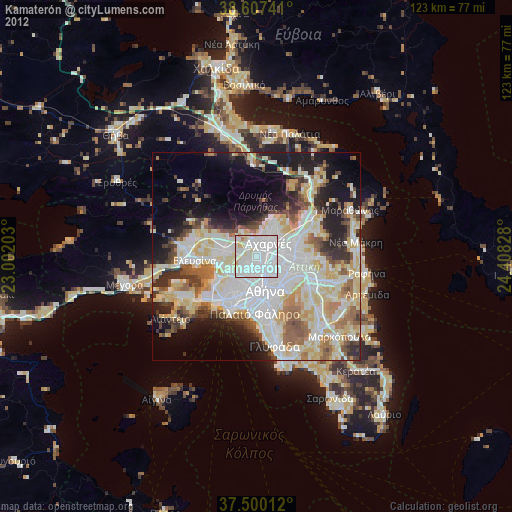
» Earth at Night: Flat Maps 2012, 2016