Ebebiyin night lights from space
Night Light of Ebebiyin (Kié-Ntem) from space (Equatorial Guinea) Src. Average luminocity for 10x10km area is 23.6732% and for 50x50km: 3.1722%.
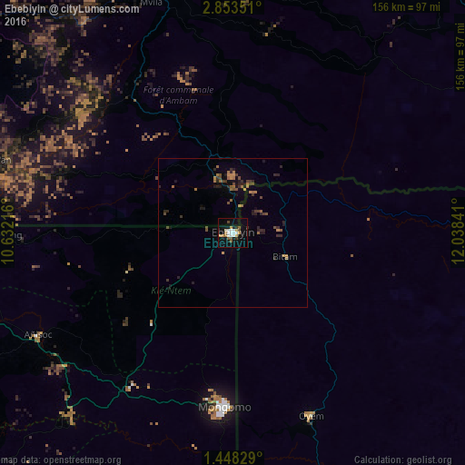
Analysis of Ebebiyin night lights 2016
Square area 10x10 km:
 4.55%
4.55%90-99
4.98%80-89
0.65%70-79
4.55%60-69
1.73%50-59
3.46%40-49
1.73%30-39
1.3%20-29
1.52%10-19
17.1%0-9
58.44%Square area 50x50 km:
0.18%90-99
0.2%80-89
0.03%70-79
0.6%60-69
0.71%50-59
0.44%40-49
0.67%30-39
0.52%20-29
1.1%10-19
1.52%0-9
94.04%Clear (daylight) street map image can be seen on geolist.org.
Map coordinates:
2° 51' 12.6" North, 10° 37' 55.8" East
2° 9' 3.8" North, 11° 20' 7" East
1° 26' 53.8" North, 12° 2' 18.3" East
Some cities around Ebebiyin sort by population:
• Ébolowa, CM
85.8 km =53.3 mi,  346°
346°
• Oyem, GA
67.1 km =41.7 mi,  156°
156°
• Aconibe
104.8 km =65.1 mi,  204°
204°
• Bitam, GA
20.2 km =12.6 mi,  114°
114°
• Añisoc
70.5 km =43.8 mi,  243°
243°
• Ambam, CM
26.5 km =16.5 mi, 347°
• Mongomo
58.3 km =36.2 mi,  182°
182°
• Mikomeseng
80.2 km =49.8 mi,  268°
268°
2309332 (p: 24,831)
Sources (retrieved 2019-11-25):
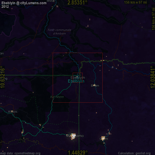
» Earth at Night: Flat Maps 2012, 2016