Ébolowa night lights from space
Night Light of Ébolowa (South) from space (Cameroon) Src. Average luminocity for 10x10km area is 8.2814% and for 50x50km: 1.6755%.
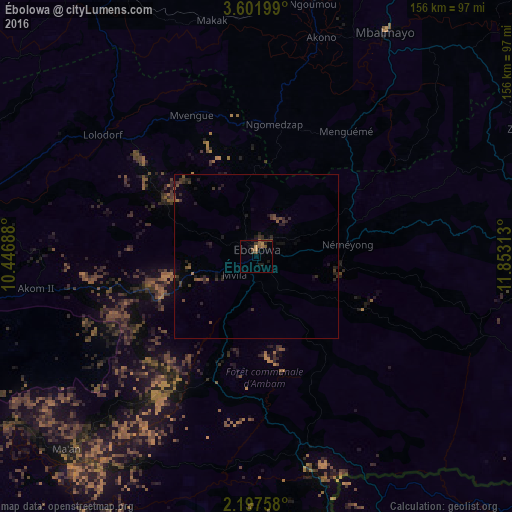
Analysis of Ébolowa night lights 2016
Square area 10x10 km:
 0%
0%90-99
0%80-89
0%70-79
1.95%60-69
1.95%50-59
3.46%40-49
1.73%30-39
2.6%20-29
1.73%10-19
4.11%0-9
82.47%Square area 50x50 km:
0%90-99
0%80-89
0%70-79
0.08%60-69
0.22%50-59
0.44%40-49
0.39%30-39
0.82%20-29
0.91%10-19
1.19%0-9
95.95%Clear (daylight) street map image can be seen on geolist.org.
Map coordinates:
3° 36' 7.2" North, 10° 26' 48.8" East
2° 54' 0" North, 11° 9' 0" East
2° 11' 51.3" North, 11° 51' 11.3" East
Some cities around Ébolowa sort by population:
• Mbalmayo
78.8 km =49 mi,  29°
29°
• Sangmélima
92.6 km =57.5 mi,  87°
87°
• Ebebiyin, GQ
85.8 km =53.3 mi,  166°
166°
• Lolodorf
59.3 km =36.8 mi,  308°
308°
• Eséka
93.6 km =58.2 mi,  332°
332°
• Bitam, GA
99.6 km =61.9 mi,  156°
156°
• Akom II
66.1 km =41.1 mi,  258°
258°
• Ambam
59.3 km =36.8 mi, 165°
2232283 (p: 87,875)
Sources (retrieved 2019-11-25):
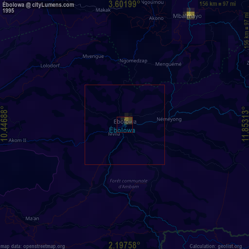
» NASA, Earths city lights 1995
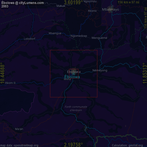
» NASA city lights 2003
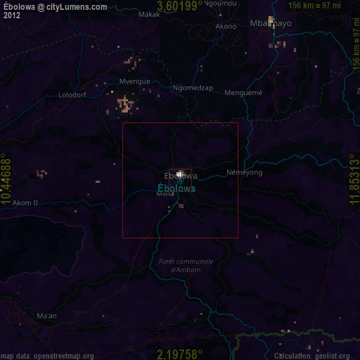
» Earth at Night: Flat Maps 2012, 2016