Oyem night lights from space
Night Light of Oyem (Woleu-Ntem) from space (Gabon) Src. Average luminocity for 10x10km area is 8.0173% and for 50x50km: 0.373%.
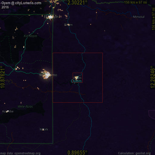
Analysis of Oyem night lights 2016
Square area 10x10 km:
 0%
0%90-99
0.87%80-89
0%70-79
3.46%60-69
4.11%50-59
0.22%40-49
0%30-39
0.65%20-29
0.22%10-19
1.73%0-9
88.74%Square area 50x50 km:
0%90-99
0.03%80-89
0%70-79
0.14%60-69
0.16%50-59
0.01%40-49
0%30-39
0.03%20-29
0.01%10-19
0.08%0-9
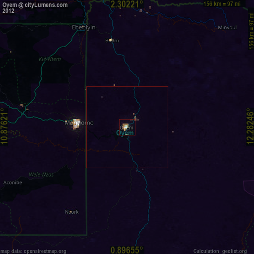
99.54%Clear (daylight) street map image can be seen on geolist.org.
Map coordinates:
2° 18' 8" North, 10° 52' 34.4" East
1° 35' 58.2" North, 11° 34' 45.6" East
0° 53' 47.6" North, 12° 16' 56.9" East
Some cities around Oyem sort by population:
• Ebebiyin, GQ
67.1 km =41.7 mi,  336°
336°
• Aconibe, GQ
78.9 km =49 mi,  244°
244°
• Bitam
53.7 km =33.4 mi,  350°
350°
• Añisoc, GQ
94.8 km =58.9 mi,  288°
288°
• Ambam, CM
93.2 km =57.9 mi, 339°
• Evinayong, GQ
115.7 km =71.9 mi,  261°
261°
• Mongomo, GQ
29.7 km =18.5 mi,  275°
275°
• Mikomeseng, GQ
122.8 km =76.3 mi,  299°
299°
2396646 (p: 30,870)
Sources (retrieved 2019-11-25):
» Earth at Night: Flat Maps 2012, 2016