Bunumbu night lights from space
Night Light of Bunumbu (Eastern Province) from space (Sierra Leone) Src. Average luminocity for 10x10km area is 0% and for 50x50km: 0%.
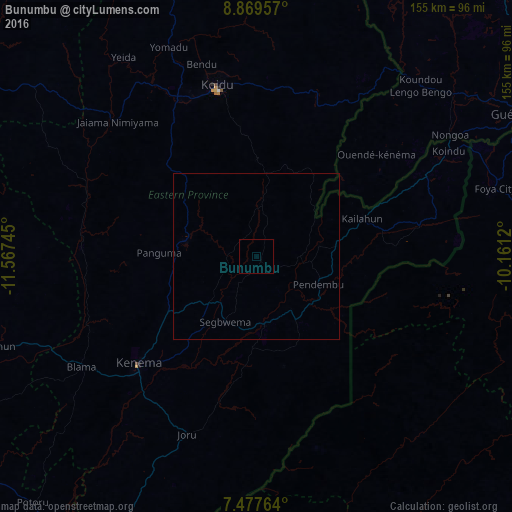
Analysis of Bunumbu night lights 2016
Square area 10x10 km:
 0%
0%90-99
0%80-89
0%70-79
0%60-69
0%50-59
0%40-49
0%30-39
0%20-29
0%10-19
0%0-9
100%Square area 50x50 km:
0%90-99
0%80-89
0%70-79
0%60-69
0%50-59
0%40-49
0%30-39
0%20-29
0%10-19
0%0-9
100%Clear (daylight) street map image can be seen on geolist.org.
Map coordinates:
8° 52' 10.5" North, 11° 34' 2.8" West
8° 10' 27.2" North, 10° 51' 51.6" West
7° 28' 39.5" North, 10° 9' 40.3" West
Some cities around Bunumbu sort by population:
• Kenema
48.8 km =30.3 mi,  227°
227°
• Segbwema
22.1 km =13.7 mi,  205°
205°
• Kailahun
34.1 km =21.2 mi,  70°
70°
• Pendembu
20.5 km =12.7 mi,  114°
114°
• Panguma
29.6 km =18.4 mi,  272°
272°
• Tombodu
27.3 km =17 mi,  99°
99°
• Daru
20.7 km =12.9 mi,  173°
173°
• Hangha
40.1 km =24.9 mi, 229°
2409783 (p: 7,355)
Sources (retrieved 2019-11-25):
» Earth at Night: Flat Maps 2012, 2016