New Yekepa night lights from space
Night Light of New Yekepa (Nimba) from space (Liberia) Src. Average luminocity for 10x10km area is 0% and for 50x50km: 0.2289%.
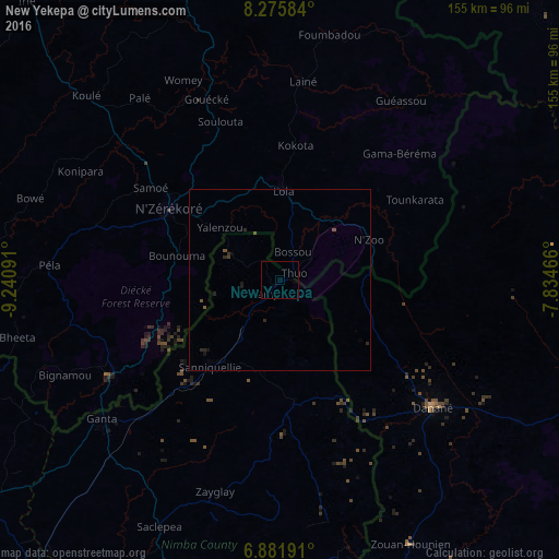
Analysis of New Yekepa night lights 2016
Square area 10x10 km:
 0%
0%90-99
0%80-89
0%70-79
0%60-69
0%50-59
0%40-49
0%30-39
0%20-29
0%10-19
0%0-9
100%Square area 50x50 km:
0%90-99
0%80-89
0%70-79
0%60-69
0%50-59
0.12%40-49
0.07%30-39
0.05%20-29
0.25%10-19
0.13%0-9
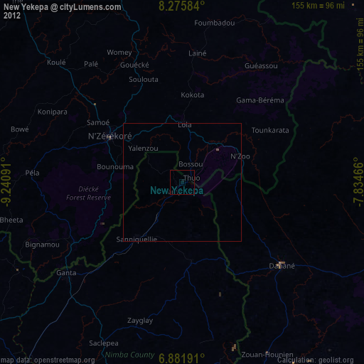
99.39%Clear (daylight) street map image can be seen on geolist.org.
Map coordinates:
8° 16' 33" North, 9° 14' 27.3" West
7° 34' 46" North, 8° 32' 16" West
6° 52' 54.9" North, 7° 50' 4.8" West
Some cities around New Yekepa sort by population:
• Man, CI
110 km =68.4 mi,  99°
99°
• Nzérékoré, GN
36.6 km =22.7 mi,  302°
302°
• Danané, CI
55.2 km =34.3 mi,  130°
130°
• Gbarnga
121.7 km =75.6 mi,  237°
237°
• Biankouma, CI
103.4 km =64.2 mi,  80°
80°
• Toulépleu Gueré, CI
112.5 km =69.9 mi,  173°
173°
• Ganta
30.8 km =19.1 mi,  178°
178°
• Sanniquellie
31 km =19.3 mi,  218°
218°
2272790 (p: 24,695)
Sources (retrieved 2019-11-25):
» Earth at Night: Flat Maps 2012, 2016