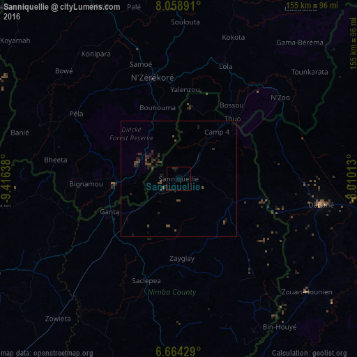
Sanniquellie night lights from space
Night Light of Sanniquellie (Nimba) from space (Liberia) Src. Average luminocity for 10x10km area is 1.2771% and for 50x50km: 0.9955%.
Analysis of Sanniquellie night lights 2016
Square area 10x10 km:
 0%
0%90-99
0%80-89
0%70-79
0%60-69
0%50-59
0%40-49
0%30-39
0%20-29
2.38%10-19
3.03%0-9
94.59%Square area 50x50 km:
0%90-99
0%80-89
0%70-79
0%60-69
0%50-59
0.23%40-49
0.56%30-39
0.51%20-29
0.74%10-19
0.83%0-9
97.13%Clear (daylight) street map image can be seen on geolist.org.
Map coordinates:
8° 3' 32.1" North, 9° 24' 59" West
7° 21' 43.7" North, 8° 42' 47.7" West
6° 39' 51.4" North, 8° 0' 36.5" West
Some cities around Sanniquellie sort by population:
• Man, CI
128 km =79.5 mi,  87°
87°
• Nzérékoré, GN
45.3 km =28.1 mi,  345°
345°
• Danané, CI
62.6 km =38.9 mi,  100°
100°
• Gbarnga
93 km =57.8 mi,  244°
244°
• New Yekepa
31 km =19.3 mi,  38°
38°
• Biankouma, CI
128.2 km =79.7 mi,  70°
70°
• Toulépleu Gueré, CI
93.2 km =57.9 mi,  160°
160°
• Ganta
21.2 km =13.2 mi,  108°
108°
2274129 (p: 11,415)
Sources (retrieved 2019-11-25):
» Earth at Night: Flat Maps 2012, 2016