Kasoa night lights from space
Night Light of Kasoa (Central) from space (Ghana) Src. Average luminocity for 10x10km area is 84.7376% and for 50x50km: 30.3712%.
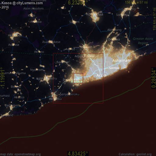
Analysis of Kasoa night lights 2016
Square area 10x10 km:
100  9.71%
9.71%
90-99 28.1%
80-89 28.31%
70-79 23.97%
60-69 8.47%
50-59 1.45%
40-49 0%
30-39 0%
20-29 0%
10-19 0%
0-9 0%
9.71%90-99
28.1%80-89
28.31%70-79
23.97%60-69
8.47%50-59
1.45%40-49
0%30-39
0%20-29
0%10-19
0%0-9
0%Square area 50x50 km:
100 6.76%
90-99 4.97%
80-89 7.35%
70-79 4.8%
60-69 3.97%
50-59 2.41%
40-49 3.27%
30-39 2.79%
20-29 3.77%
10-19 7.07%
0-9 52.84%
6.76%90-99
4.97%80-89
7.35%70-79
4.8%60-69
3.97%50-59
2.41%40-49
3.27%30-39
2.79%20-29
3.77%10-19
7.07%0-9
52.84%Clear (daylight) street map image can be seen on geolist.org.
Map coordinates:
6° 14' 2.1" North, 1° 7' 11.7" West
5° 32' 4.2" North, 0° 25' 0.4" West
4° 50' 3.3" North, 0° 17' 10.8" East
Some cities around Kasoa sort by population:
• Accra
24.5 km =15.2 mi,  84°
84°
• Atsiaman
20.6 km =12.8 mi,  28°
28°
• Medina Estates
31.6 km =19.6 mi,  62°
62°
• Swedru
31.3 km =19.4 mi,  270°
270°
• Dome
23.8 km =14.8 mi, 57°
• Gbawe
12.7 km =7.9 mi,  68°
68°
• Nsawam
31.4 km =19.5 mi,  13°
13°
• Winneba
30.6 km =19 mi,  228°
228°
2296458 (p: 44,227)
Sources (retrieved 2019-11-25):
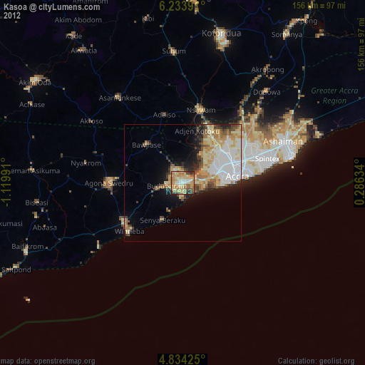
» Earth at Night: Flat Maps 2012, 2016