Dome night lights from space
Night Light of Dome (Greater Accra) from space (Ghana) Src. Average luminocity for 10x10km area is 98.405% and for 50x50km: 51.0183%.
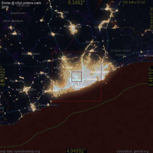
Analysis of Dome night lights 2016
Square area 10x10 km:
 58.68%
90-99
38.64%80-89
2.69%70-79
0%60-69
0%50-59
0%40-49
0%30-39
0%20-29
0%10-19
0%0-9
0%Square area 50x50 km:
13.95%90-99
9.37%80-89
11.12%70-79
7.41%60-69
5.67%50-59
4.17%40-49
5.01%30-39
4.31%20-29
6.53%10-19
9.46%0-9
23.01%Clear (daylight) street map image can be seen on geolist.org.
Map coordinates:
6° 20' 57.5" North, 0° 56' 21.2" West
5° 39' 0.1" North, 0° 14' 10" West
4° 56' 59.7" North, 0° 28' 1.3" East
Some cities around Dome sort by population:
• Accra
11.3 km =7 mi,  157°
157°
• Atsiaman
11.5 km =7.1 mi,  297°
297°
• Teshi Old Town
16.1 km =10 mi,  117°
117°
• Medina Estates
8.3 km =5.2 mi,  77°
77°
• Nungua
18.4 km =11.4 mi,  107°
107°
• Gbawe
11.6 km =7.2 mi,  225°
225°
• Nsawam
21.7 km =13.5 mi,  324°
324°
• Aburi
23 km =14.3 mi,  17°
17°
2301639 (p: 47,260)
Sources (retrieved 2019-11-25):
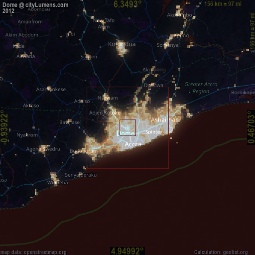
» Earth at Night: Flat Maps 2012, 2016