Gbawe night lights from space
Night Light of Gbawe (Greater Accra) from space (Ghana) Src. Average luminocity for 10x10km area is 91.3409% and for 50x50km: 43.0477%.
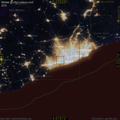
Analysis of Gbawe night lights 2016
Square area 10x10 km:
 43.18%
90-99
22.93%80-89
13.64%70-79
13.22%60-69
5.79%50-59
1.24%40-49
0%30-39
0%20-29
0%10-19
0%0-9
0%Square area 50x50 km:
11.94%90-99
7.78%80-89
9.58%70-79
6.11%60-69
5.1%50-59
3.64%40-49
4.2%30-39
3.18%20-29
4.66%10-19
7.33%0-9
36.47%Clear (daylight) street map image can be seen on geolist.org.
Map coordinates:
6° 16' 34.6" North, 1° 0' 48.6" West
5° 34' 36.9" North, 0° 18' 37.4" West
4° 52' 36.2" North, 0° 23' 33.9" East
Some cities around Gbawe sort by population:
• Accra
12.8 km =8 mi,  100°
100°
• Atsiaman
13.6 km =8.5 mi,  351°
351°
• Teshi Old Town
22.5 km =14 mi,  88°
88°
• Medina Estates
19.1 km =11.9 mi,  58°
58°
• Nungua
26 km =16.2 mi,  84°
84°
• Dome
11.6 km =7.2 mi,  45°
45°
• Nsawam
26.2 km =16.3 mi, 350°
• Kasoa
12.7 km =7.9 mi,  248°
248°
2300721 (p: 44,645)
Sources (retrieved 2019-11-25):
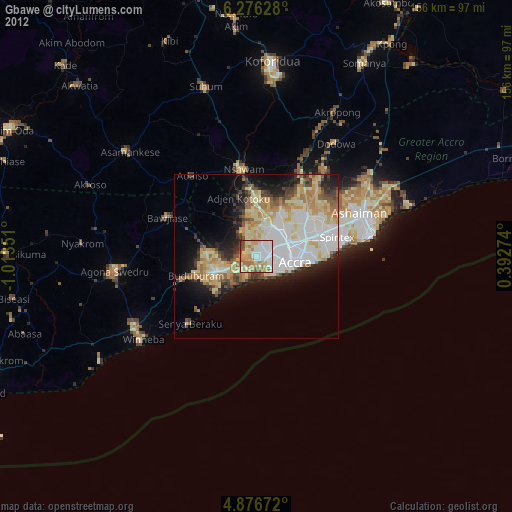
» Earth at Night: Flat Maps 2012, 2016