Anloga night lights from space
Night Light of Anloga (Volta) from space (Ghana) Src. Average luminocity for 10x10km area is 5.9793% and for 50x50km: 1.1908%.
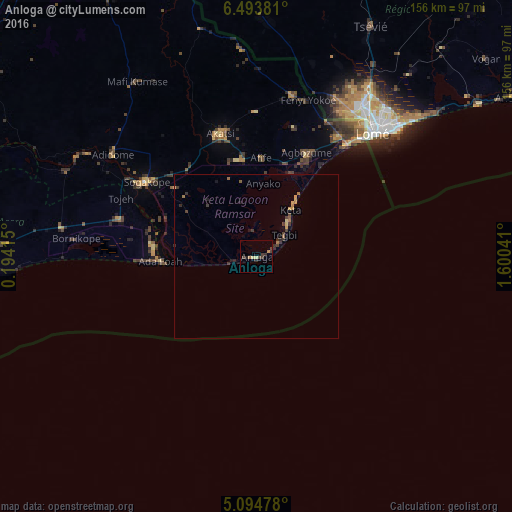
Analysis of Anloga night lights 2016
Square area 10x10 km:
100  0%
0%
90-99 0%
80-89 1.65%
70-79 0.83%
60-69 0.83%
50-59 0%
40-49 1.45%
30-39 3.51%
20-29 2.27%
10-19 0.21%
0-9 89.26%
0%90-99
0%80-89
1.65%70-79
0.83%60-69
0.83%50-59
0%40-49
1.45%30-39
3.51%20-29
2.27%10-19
0.21%0-9
89.26%Square area 50x50 km:
100 0%
90-99 0%
80-89 0.2%
70-79 0.26%
60-69 0.21%
50-59 0.1%
40-49 0.2%
30-39 0.58%
20-29 0.28%
10-19 0.17%
0-9 98%
0%90-99
0%80-89
0.2%70-79
0.26%60-69
0.21%50-59
0.1%40-49
0.2%30-39
0.58%20-29
0.28%10-19
0.17%0-9
98%Clear (daylight) street map image can be seen on geolist.org.
Map coordinates:
6° 29' 37.7" North, 0° 11' 38.9" East
5° 47' 41" North, 0° 53' 50.2" East
5° 5' 41.2" North, 1° 36' 1.5" East
Some cities around Anloga sort by population:
• Lomé, TG
51.6 km =32.1 mi,  43°
43°
• Tema
102.1 km =63.4 mi,  262°
262°
• Ho
101.2 km =62.9 mi,  332°
332°
• Aflao
48.5 km =30.1 mi, 41°
• Tsévié, TG
78.4 km =48.7 mi,  26°
26°
• Aného, TG
90.7 km =56.4 mi,  57°
57°
• Vogan, TG
92.4 km =57.4 mi,  49°
49°
• Keta
17 km =10.6 mi, 36°
2304548 (p: 29,748)
Sources (retrieved 2019-11-25):
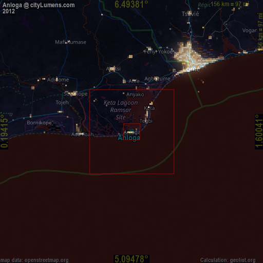
» Earth at Night: Flat Maps 2012, 2016