Tema night lights from space
Night Light of Tema (Greater Accra) from space (Ghana) Src. Average luminocity for 10x10km area is 96.3988% and for 50x50km: 36.7572%.
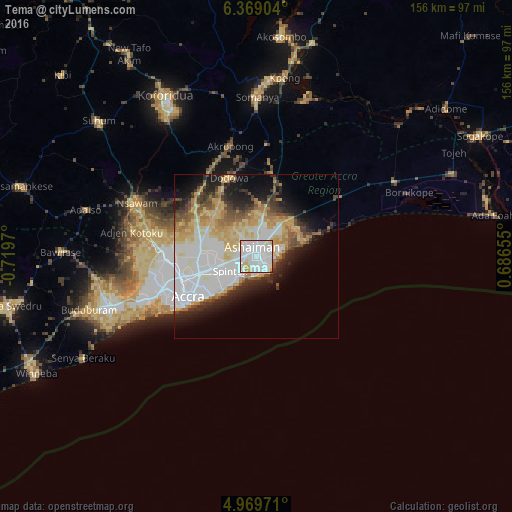
Analysis of Tema night lights 2016
Square area 10x10 km:
 51.65%
90-99
34.09%80-89
9.3%70-79
4.55%60-69
0%50-59
0%40-49
0.41%30-39
0%20-29
0%10-19
0%0-9
0%Square area 50x50 km:
11.35%90-99
7.48%80-89
6.24%70-79
4.59%60-69
3.89%50-59
2.32%40-49
3.56%30-39
3.11%20-29
5.34%10-19
8.31%0-9
43.8%Clear (daylight) street map image can be seen on geolist.org.
Map coordinates:
6° 22' 8.5" North, 0° 43' 10.9" West
5° 40' 11.3" North, 0° 0' 59.7" West
4° 58' 11" North, 0° 41' 11.6" East
Some cities around Tema sort by population:
• Accra
23.6 km =14.7 mi,  237°
237°
• Atsiaman
34.6 km =21.5 mi,  275°
275°
• Teshi Old Town
13.9 km =8.6 mi,  226°
226°
• Medina Estates
16.2 km =10.1 mi,  268°
268°
• Nungua
10.2 km =6.3 mi,  221°
221°
• Dome
24.4 km =15.2 mi,  264°
264°
• Gbawe
34.1 km =21.2 mi,  252°
252°
• Aburi
26.4 km =16.4 mi,  318°
318°
2294700 (p: 155,782)
Sources (retrieved 2019-11-25):
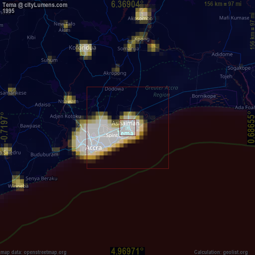
» NASA, Earths city lights 1995
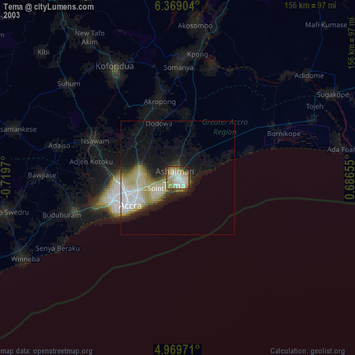
» NASA city lights 2003
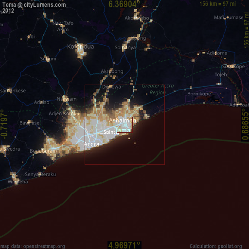
» Earth at Night: Flat Maps 2012, 2016