Vogan night lights from space
Night Light of Vogan (Maritime) from space (Togo) Src. Average luminocity for 10x10km area is 1.3247% and for 50x50km: 2.1916%.
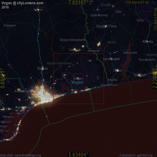
Analysis of Vogan night lights 2016
Square area 10x10 km:
 0%
0%90-99
0%80-89
0%70-79
0%60-69
0%50-59
0.22%40-49
1.52%30-39
0%20-29
0.87%10-19
0.87%0-9
96.54%Square area 50x50 km:
0.02%90-99
0.07%80-89
0.22%70-79
0.28%60-69
0.48%50-59
0.31%40-49
0.61%30-39
0.55%20-29
0.94%10-19
1.64%0-9
94.88%Clear (daylight) street map image can be seen on geolist.org.
Map coordinates:
7° 1' 54" North, 0° 49' 48.8" East
6° 19' 60" North, 1° 31' 60" East
5° 38' 2.5" North, 2° 14' 11.3" East
Some cities around Vogan sort by population:
• Lomé
41.3 km =25.7 mi,  236°
236°
• Lokossa, BJ
39.5 km =24.5 mi,  30°
30°
• Aflao, GH
44.8 km =27.8 mi, 237°
• Tsévié
36.8 km =22.9 mi,  286°
286°
• Aného
13.4 km =8.3 mi,  151°
151°
• Comé, BJ
39.4 km =24.5 mi,  77°
77°
• Tabligbo
28 km =17.4 mi,  352°
352°
• Grand-Popo, BJ
32.5 km =20.2 mi,  100°
100°
2363490 (p: 20,569)
Sources (retrieved 2019-11-25):
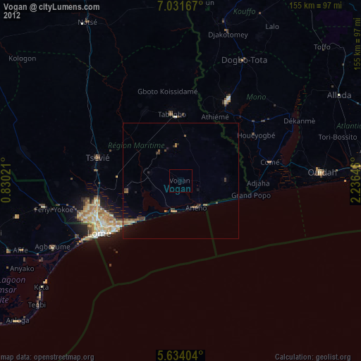
» Earth at Night: Flat Maps 2012, 2016