Aflao night lights from space
Night Light of Aflao (Volta) from space (Ghana) Src. Average luminocity for 10x10km area is 50.8306% and for 50x50km: 13.9819%.
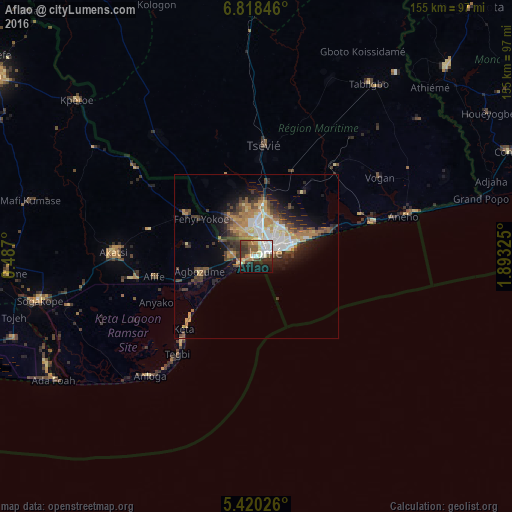
Analysis of Aflao night lights 2016
Square area 10x10 km:
 9.5%
9.5%90-99
10.95%80-89
7.02%70-79
4.75%60-69
6.4%50-59
6.82%40-49
8.68%30-39
11.78%20-29
9.09%10-19
19.42%0-9
5.58%Square area 50x50 km:
1.67%90-99
2.37%80-89
1.67%70-79
2.07%60-69
2.46%50-59
1.34%40-49
2.95%30-39
2.79%20-29
3.09%10-19
6.22%0-9
73.36%Clear (daylight) street map image can be seen on geolist.org.
Map coordinates:
6° 49' 6.5" North, 0° 29' 13.2" East
6° 7' 11.4" North, 1° 11' 24.4" East
5° 25' 12.9" North, 1° 53' 35.7" East
Some cities around Aflao sort by population:
• Lomé, TG
3.6 km =2.2 mi,  74°
74°
• Tsévié, TG
34.2 km =21.3 mi,  4°
4°
• Aného, TG
46 km =28.6 mi, 74°
• Anloga
48.5 km =30.1 mi,  221°
221°
• Vogan, TG
44.8 km =27.8 mi,  57°
57°
• Keta
31.7 km =19.7 mi, 224°
• Tabligbo, TG
61.9 km =38.5 mi,  33°
33°
• Grand-Popo, BJ
72.1 km =44.8 mi,  75°
75°
2305677 (p: 66,546)
Sources (retrieved 2019-11-25):
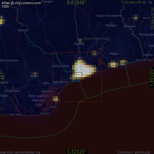
» NASA, Earths city lights 1995
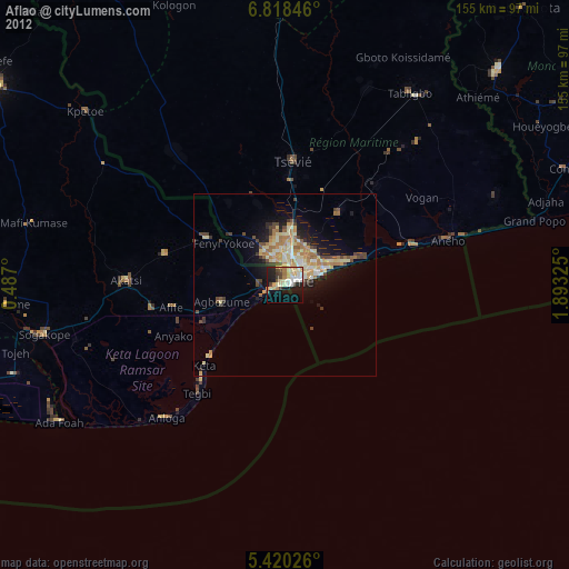
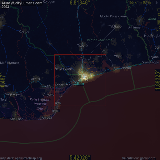
» NASA city lights 2003
» Earth at Night: Flat Maps 2012, 2016