Lomé night lights from space
Night Light of Lomé (Maritime) from space (Togo) Src. Average luminocity for 10x10km area is 66.1033% and for 50x50km: 13.7534%.
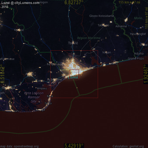
Analysis of Lomé night lights 2016
Square area 10x10 km:
 18.6%
18.6%90-99
23.14%80-89
6.2%70-79
6.4%60-69
5.58%50-59
4.75%40-49
4.34%30-39
5.79%20-29
12.6%10-19
12.6%0-9
0%Square area 50x50 km:
1.67%90-99
2.37%80-89
1.63%70-79
2.03%60-69
2.43%50-59
1.31%40-49
2.86%30-39
2.76%20-29
3.07%10-19
6.11%0-9
73.76%Clear (daylight) street map image can be seen on geolist.org.
Map coordinates:
6° 49' 38.5" North, 0° 31' 6.3" East
6° 7' 43.5" North, 1° 13' 17.5" East
5° 25' 45.1" North, 1° 55' 28.8" East
Some cities around Lomé sort by population:
• Aflao, GH
3.6 km =2.2 mi,  254°
254°
• Tsévié
33.1 km =20.6 mi,  358°
358°
• Aného
42.4 km =26.3 mi,  74°
74°
• Anloga, GH
51.6 km =32.1 mi,  223°
223°
• Vogan
41.3 km =25.7 mi,  56°
56°
• Keta, GH
34.9 km =21.7 mi,  227°
227°
• Tabligbo
59.2 km =36.8 mi,  31°
31°
• Grand-Popo, BJ
68.5 km =42.6 mi,  75°
75°
2365267 (p: 749,700)
Sources (retrieved 2019-11-25):
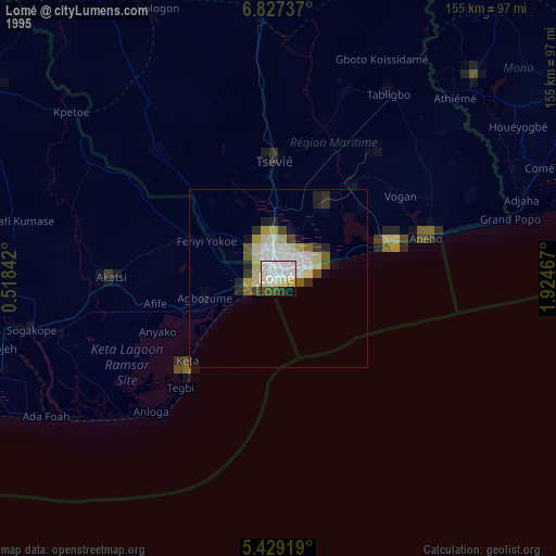
» NASA, Earths city lights 1995
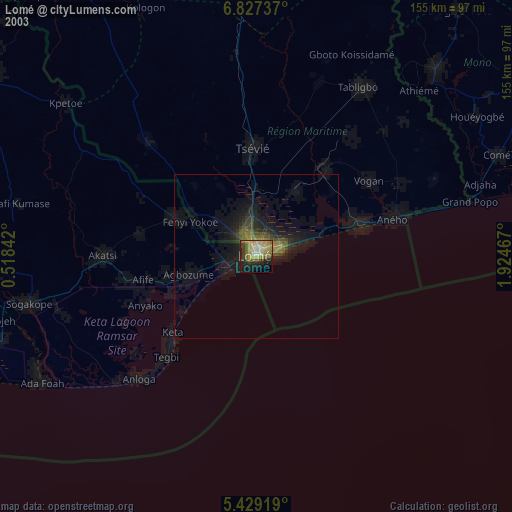
» NASA city lights 2003
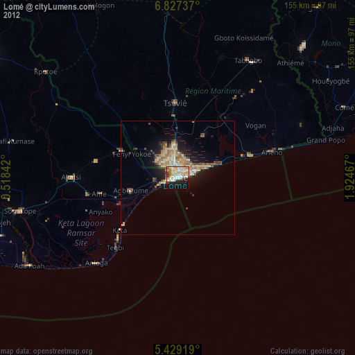
» Earth at Night: Flat Maps 2012, 2016