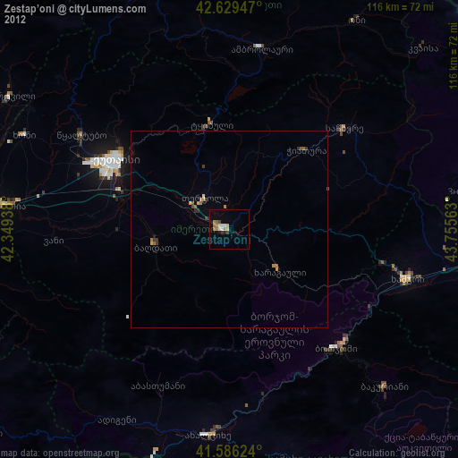
Zestap’oni night lights from space
Night Light of Zestap’oni (Imereti) from space (Georgia) Src. Average luminocity for 10x10km area is 9.3864% and for 50x50km: 0.806%.
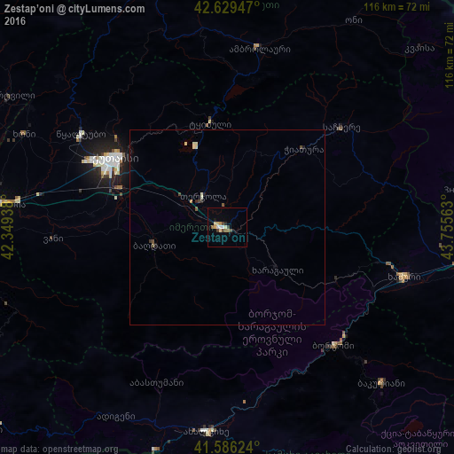
Analysis of Zestap’oni night lights 2016
Square area 10x10 km:
 1.06%
1.06%90-99
0.76%80-89
2.42%70-79
1.21%60-69
1.21%50-59
0.61%40-49
1.36%30-39
1.67%20-29
0.61%10-19
0.61%0-9
88.48%Square area 50x50 km:
0.04%90-99
0.16%80-89
0.15%70-79
0.06%60-69
0.07%50-59
0.1%40-49
0.16%30-39
0.1%20-29
0.08%10-19
0.13%0-9
98.94%Clear (daylight) street map image can be seen on geolist.org.
Map coordinates:
42° 37' 46.1" North, 42° 20' 57.8" East
42° 6' 36" North, 43° 3' 9" East
41° 35' 10.5" North, 43° 45' 20.3" East
Some cities around Zestap’oni sort by population:
• Kutaisi
34.3 km =21.3 mi,  300°
300°
• Khashuri
47 km =29.2 mi,  105°
105°
• Tsqaltubo
45.4 km =28.2 mi, 304°
• Borjomi
41.3 km =25.7 mi,  133°
133°
• Tqibuli
27.2 km =16.9 mi,  350°
350°
• Chiat’ura
29.1 km =18.1 mi,  44°
44°
• Surami
42.6 km =26.5 mi,  102°
102°
• Sach’khere
40 km =24.9 mi,  49°
49°
610864 (p: 25,891)
Sources (retrieved 2019-11-25):
» Earth at Night: Flat Maps 2012, 2016