Kutaisi night lights from space
Night Light of Kutaisi (Imereti) from space (Georgia) Src. Average luminocity for 10x10km area is 42.6864% and for 50x50km: 3.1164%.
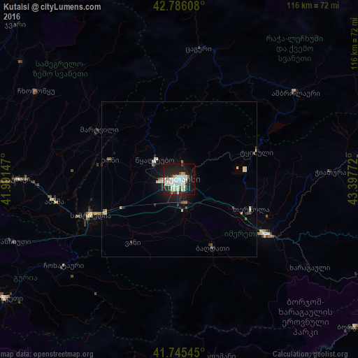
Analysis of Kutaisi night lights 2016
Square area 10x10 km:
 12.58%
90-99
12.58%80-89
4.55%70-79
1.67%60-69
0.91%50-59
2.73%40-49
1.52%30-39
3.79%20-29
14.24%10-19
33.64%0-9
11.82%Square area 50x50 km:
0.58%90-99
0.77%80-89
0.41%70-79
0.08%60-69
0.19%50-59
0.27%40-49
0.25%30-39
0.29%20-29
0.8%10-19
2.71%0-9
93.66%Clear (daylight) street map image can be seen on geolist.org.
Map coordinates:
42° 47' 9.9" North, 41° 59' 29.3" East
42° 16' 4.5" North, 42° 41' 40.5" East
41° 44' 43.6" North, 43° 23' 51.8" East
Some cities around Kutaisi sort by population:
• Samtredia
32.2 km =20 mi,  246°
246°
• Zestap’oni
34.3 km =21.3 mi,  120°
120°
• Tsqaltubo
11.4 km =7.1 mi,  315°
315°
• Tqibuli
26.7 km =16.6 mi,  69°
69°
• Chiat’ura
49.8 km =30.9 mi,  86°
86°
• Khoni
23.3 km =14.5 mi,  285°
285°
• Abasha
39.5 km =24.5 mi,  260°
260°
• Mart’vili
30.6 km =19 mi,  302°
302°
613607 (p: 178,338)
Sources (retrieved 2019-11-25):
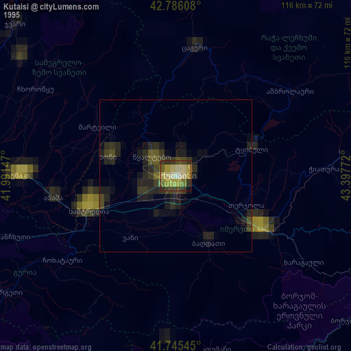
» NASA, Earths city lights 1995
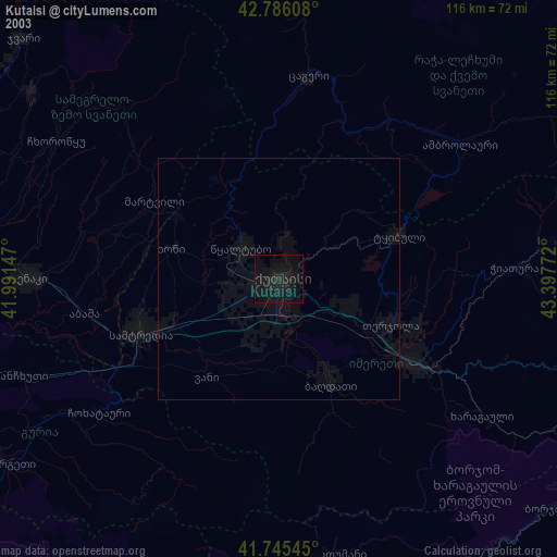
» NASA city lights 2003
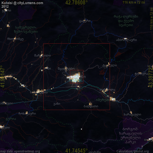
» Earth at Night: Flat Maps 2012, 2016