Sach’khere night lights from space
Night Light of Sach’khere (Imereti) from space (Georgia) Src. Average luminocity for 10x10km area is 0.8476% and for 50x50km: 0.1097%.
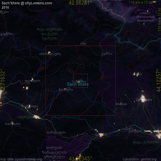
Analysis of Sach’khere night lights 2016
Square area 10x10 km:
 0%
0%90-99
0%80-89
0%70-79
0%60-69
0%50-59
0.63%40-49
0.63%30-39
0%20-29
0%10-19
0.63%0-9
98.1%Square area 50x50 km:
0%90-99
0%80-89
0%70-79
0.03%60-69
0.03%50-59
0.03%40-49
0.05%30-39
0.03%20-29
0.04%10-19
0.06%0-9
99.74%Clear (daylight) street map image can be seen on geolist.org.
Map coordinates:
42° 51' 46.1" North, 42° 42' 58.8" East
42° 20' 43" North, 43° 25' 10" East
41° 49' 24.4" North, 44° 7' 21.3" East
Some cities around Sach’khere sort by population:
• Ts’khinvali
47 km =29.2 mi,  106°
106°
• Khashuri
41.8 km =26 mi,  159°
159°
• Zestap’oni
40 km =24.9 mi,  229°
229°
• Borjomi
54.8 km =34.1 mi,  180°
180°
• Tqibuli
34.6 km =21.5 mi,  271°
271°
• Chiat’ura
11.2 km =7 mi,  242°
242°
• Surami
37.4 km =23.2 mi, 162°
• Agara
47.7 km =29.6 mi,  135°
135°
612256 (p: 6,140)
Sources (retrieved 2019-11-25):
» Earth at Night: Flat Maps 2012, 2016