Tqibuli night lights from space
Night Light of Tqibuli (Imereti) from space (Georgia) Src. Average luminocity for 10x10km area is 1.4841% and for 50x50km: 1.4107%.
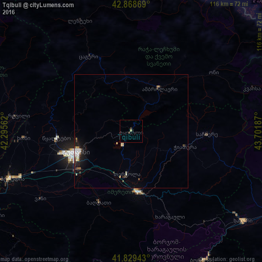
Analysis of Tqibuli night lights 2016
Square area 10x10 km:
 0%
0%90-99
0%80-89
0.48%70-79
0.16%60-69
0%50-59
0%40-49
1.11%30-39
0.16%20-29
0%10-19
0.63%0-9
97.46%Square area 50x50 km:
0.22%90-99
0.34%80-89
0.13%70-79
0.08%60-69
0.13%50-59
0.12%40-49
0.22%30-39
0.09%20-29
0.28%10-19
1.16%0-9
97.22%Clear (daylight) street map image can be seen on geolist.org.
Map coordinates:
42° 52' 7.3" North, 42° 17' 44.2" East
42° 21' 4.4" North, 42° 59' 55.5" East
41° 49' 45.9" North, 43° 42' 6.7" East
Some cities around Tqibuli sort by population:
• Kutaisi
26.7 km =16.6 mi,  249°
249°
• Zestap’oni
27.2 km =16.9 mi,  170°
170°
• Tsqaltubo
33 km =20.5 mi,  268°
268°
• Chiat’ura
25.4 km =15.8 mi,  103°
103°
• Khoni
47.6 km =29.6 mi, 266°
• Lent’ekhi
53.7 km =33.4 mi,  335°
335°
• Sach’khere
34.6 km =21.5 mi,  91°
91°
• Mart’vili
51.4 km =31.9 mi,  277°
277°
611584 (p: 13,201)
Sources (retrieved 2019-11-25):
» Earth at Night: Flat Maps 2012, 2016