Tsqaltubo night lights from space
Night Light of Tsqaltubo (Imereti) from space (Georgia) Src. Average luminocity for 10x10km area is 5.0937% and for 50x50km: 3.2076%.
Analysis of Tsqaltubo night lights 2016
Square area 10x10 km:
 0.79%
0.79%90-99
1.43%80-89
0.32%70-79
0%60-69
0.63%50-59
0%40-49
0%30-39
0.63%20-29
0.63%10-19
4.76%0-9
90.79%Square area 50x50 km:
0.61%90-99
0.65%80-89
0.46%70-79
0.12%60-69
0.23%50-59
0.31%40-49
0.16%30-39
0.38%20-29
0.88%10-19
2.77%0-9
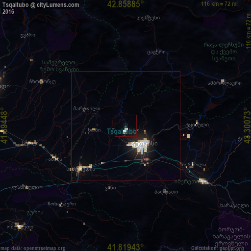
93.43%Clear (daylight) street map image can be seen on geolist.org.
Map coordinates:
42° 51' 31.9" North, 41° 53' 40.1" East
42° 20' 28.6" North, 42° 35' 51.4" East
41° 49' 9.9" North, 43° 18' 2.6" East
Some cities around Tsqaltubo sort by population:
• Kutaisi
11.4 km =7.1 mi,  135°
135°
• Samtredia
30 km =18.6 mi,  226°
226°
• Senak’i
44.3 km =27.5 mi,  259°
259°
• Zestap’oni
45.4 km =28.2 mi,  124°
124°
• Tqibuli
33 km =20.5 mi,  88°
88°
• Khoni
14.7 km =9.1 mi, 261°
• Abasha
34.3 km =21.3 mi,  244°
244°
• Mart’vili
19.7 km =12.2 mi,  294°
294°
824288 (p: 16,736)
Sources (retrieved 2019-11-25):
» Earth at Night: Flat Maps 2012, 2016