York night lights from space
Night Light of York (England) from space (United Kingdom) Src. Average luminocity for 10x10km area is 51.2209% and for 50x50km: 7.8612%.
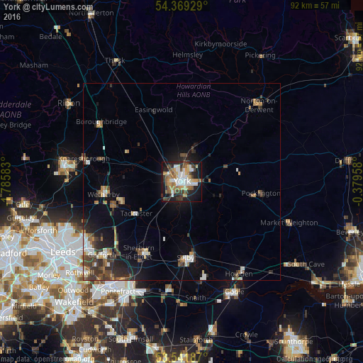
Analysis of York night lights 2016
Square area 10x10 km:
 9.79%
9.79%90-99
10.85%80-89
4.63%70-79
7.54%60-69
9.52%50-59
6.75%40-49
6.88%30-39
6.08%20-29
12.7%10-19
22.62%0-9
2.65%Square area 50x50 km:
1%90-99
1.2%80-89
0.59%70-79
0.71%60-69
1.27%50-59
0.93%40-49
1.43%30-39
1.69%20-29
2.1%10-19
4.86%0-9
84.23%Clear (daylight) street map image can be seen on geolist.org.
Map coordinates:
54° 22' 9.4" North, 1° 47' 9" West
53° 57' 27.5" North, 1° 4' 57.8" West
53° 32' 30.7" North, 0° 22' 46.5" West
Some cities around York sort by population:
• Selby
19.4 km =12.1 mi,  176°
176°
• Wetherby
20.2 km =12.6 mi,  260°
260°
• Haxby
6.3 km =3.9 mi,  6°
6°
• Pocklington
19.9 km =12.4 mi,  97°
97°
• Sherburn in Elmet
21 km =13 mi,  210°
210°
• Tadcaster
14.4 km =8.9 mi,  235°
235°
• Boston Spa
18.2 km =11.3 mi,  250°
250°
• Strensall
9.7 km =6 mi,  18°
18°
2633352 (p: 153,717)
Sources (retrieved 2019-11-25):
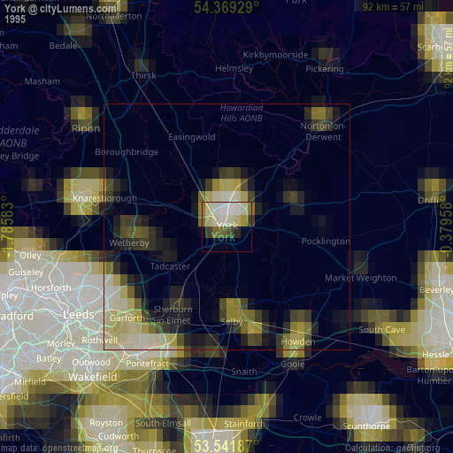
» NASA, Earths city lights 1995
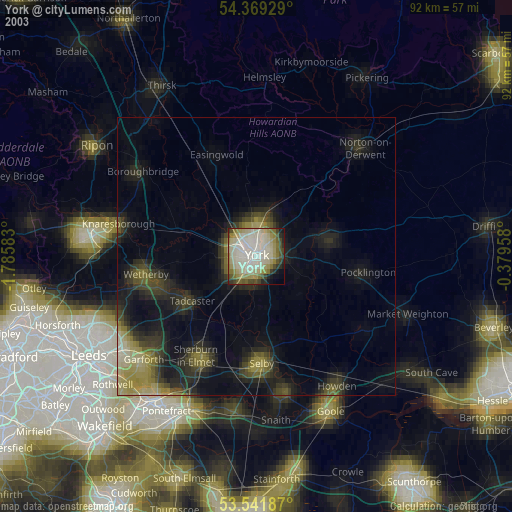
» NASA city lights 2003
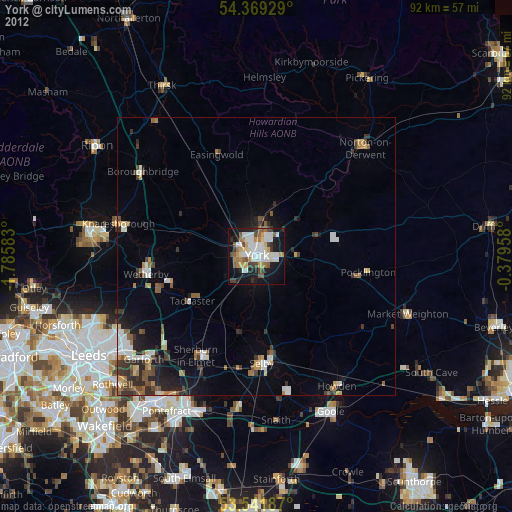
» Earth at Night: Flat Maps 2012, 2016