Selby night lights from space
Night Light of Selby (England) from space (United Kingdom) Src. Average luminocity for 10x10km area is 14.7288% and for 50x50km: 15.5202%.
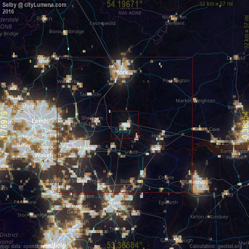
Analysis of Selby night lights 2016
Square area 10x10 km:
 2.51%
2.51%90-99
3.31%80-89
1.19%70-79
0.66%60-69
1.59%50-59
1.06%40-49
1.19%30-39
2.38%20-29
0.13%10-19
10.32%0-9
75.66%Square area 50x50 km:
2.51%90-99
2.57%80-89
1.19%70-79
1.4%60-69
1.88%50-59
2.08%40-49
2.17%30-39
3.15%20-29
5.86%10-19
9.35%0-9
67.85%Clear (daylight) street map image can be seen on geolist.org.
Map coordinates:
54° 11' 48.2" North, 1° 46' 11.2" West
53° 46' 60" North, 1° 4' 0" West
53° 21' 57" North, 0° 21' 48.7" West
Some cities around Selby sort by population:
• York
19.4 km =12.1 mi,  356°
356°
• Pontefract
19.2 km =11.9 mi,  237°
237°
• Goole
15.3 km =9.5 mi,  125°
125°
• Knottingley
15 km =9.3 mi, 236°
• Sherburn in Elmet
11.9 km =7.4 mi,  276°
276°
• Skelton
16.1 km =10 mi,  113°
113°
• Tadcaster
17 km =10.6 mi,  310°
310°
• Askern
19.4 km =12.1 mi,  196°
196°
2638235 (p: 24,859)
Sources (retrieved 2019-11-25):
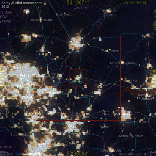
» Earth at Night: Flat Maps 2012, 2016