Wotton-under-Edge night lights from space
Night Light of Wotton-under-Edge (England) from space (United Kingdom) Src. Average luminocity for 10x10km area is 0.465% and for 50x50km: 11.6072%.
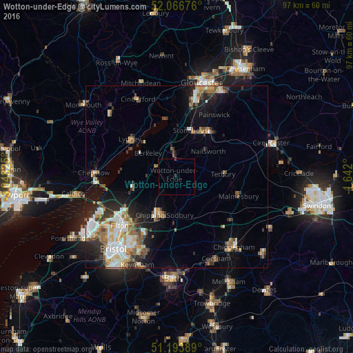
Analysis of Wotton-under-Edge night lights 2016
Square area 10x10 km:
 0%
0%90-99
0%80-89
0%70-79
0%60-69
0%50-59
0%40-49
0.28%30-39
0.56%20-29
0%10-19
0%0-9
99.16%Square area 50x50 km:
1.93%90-99
2.27%80-89
1.25%70-79
1.29%60-69
1.44%50-59
1.77%40-49
1.45%30-39
1.67%20-29
2.6%10-19
5.43%0-9
78.9%Clear (daylight) street map image can be seen on geolist.org.
Map coordinates:
52° 4' 0.3" North, 3° 2' 53.7" West
51° 37' 56.7" North, 2° 20' 42.4" West
51° 11' 38" North, 1° 38' 31.2" West
Some cities around Wotton-under-Edge sort by population:
• Chipping Sodbury
11 km =6.8 mi,  197°
197°
• Yate
11.4 km =7.1 mi,  206°
206°
• Dursley
5.5 km =3.4 mi,  354°
354°
• Thornbury
12.4 km =7.7 mi,  257°
257°
• Lydney
16.2 km =10.1 mi,  309°
309°
• Stonehouse
13.7 km =8.5 mi,  18°
18°
• Tetbury
12.6 km =7.8 mi,  86°
86°
• Nailsworth
11 km =6.8 mi,  51°
51°
2633511 (p: 5,627)
Sources (retrieved 2019-11-25):
» Earth at Night: Flat Maps 2012, 2016