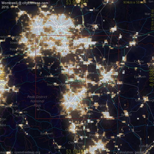
Wombwell night lights from space
Night Light of Wombwell (England) from space (United Kingdom) Src. Average luminocity for 10x10km area is 51.1257% and for 50x50km: 35.6684%.
Analysis of Wombwell night lights 2016
Square area 10x10 km:
 6.75%
6.75%90-99
8.2%80-89
6.22%70-79
7.8%60-69
5.82%50-59
5.29%40-49
8.07%30-39
22.35%20-29
29.5%10-19
0%0-9
0%Square area 50x50 km:
7.12%90-99
7.54%80-89
3.52%70-79
4.22%60-69
4.04%50-59
4.41%40-49
4.67%30-39
6.92%20-29
12.03%10-19
13.28%0-9
32.26%Clear (daylight) street map image can be seen on geolist.org.
Map coordinates:
53° 56' 16.3" North, 2° 6' 0.4" West
53° 31' 18.8" North, 1° 23' 49.1" West
53° 6' 6.5" North, 0° 41' 37.9" West
Some cities around Wombwell sort by population:
• Barnsley
6.5 km =4 mi,  298°
298°
• Rawmarsh
7.7 km =4.8 mi,  152°
152°
• Wath upon Dearne
4 km =2.5 mi,  121°
121°
• Hoyland Nether
4.3 km =2.7 mi,  235°
235°
• Mexborough
7.6 km =4.7 mi,  114°
114°
• Bolton upon Dearne
5.3 km =3.3 mi,  96°
96°
• Cudworth
5.6 km =3.5 mi,  347°
347°
• Darfield
1.9 km =1.2 mi,  46°
46°
2633681 (p: 15,518)
Sources (retrieved 2019-11-25):
» Earth at Night: Flat Maps 2012, 2016