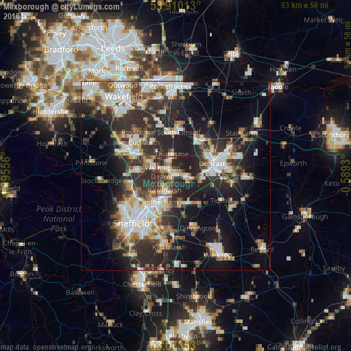
Mexborough night lights from space
Night Light of Mexborough (England) from space (United Kingdom) Src. Average luminocity for 10x10km area is 46.8717% and for 50x50km: 32.5886%.
Analysis of Mexborough night lights 2016
Square area 10x10 km:
 6.35%
6.35%90-99
5.29%80-89
8.33%70-79
7.54%60-69
4.37%50-59
6.08%40-49
9.39%30-39
10.45%20-29
20.77%10-19
21.43%0-9
0%Square area 50x50 km:
6.28%90-99
6.52%80-89
3.08%70-79
3.6%60-69
3.35%50-59
4.24%40-49
4.13%30-39
6.49%20-29
12.02%10-19
15.06%0-9
35.23%Clear (daylight) street map image can be seen on geolist.org.
Map coordinates:
53° 54' 36.5" North, 1° 59' 44" West
53° 29' 38" North, 1° 17' 32.7" West
53° 4' 24.7" North, 0° 35' 21.5" West
Some cities around Mexborough sort by population:
• Rotherham
8.3 km =5.2 mi,  210°
210°
• Bentley
10.4 km =6.5 mi,  65°
65°
• Rawmarsh
5 km =3.1 mi,  222°
222°
• Wath upon Dearne
3.7 km =2.3 mi,  285°
285°
• Conisbrough
4.2 km =2.6 mi,  108°
108°
• Wombwell
7.6 km =4.7 mi, 294°
• Bolton upon Dearne
3 km =1.9 mi,  327°
327°
• Darfield
7.1 km =4.4 mi,  308°
308°
2642683 (p: 15,079)
Sources (retrieved 2019-11-25):
» Earth at Night: Flat Maps 2012, 2016