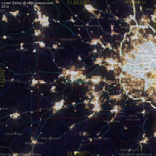
Lower Earley night lights from space
Night Light of Lower Earley (England) from space (United Kingdom) Src. Average luminocity for 10x10km area is 55.6524% and for 50x50km: 21.4113%.
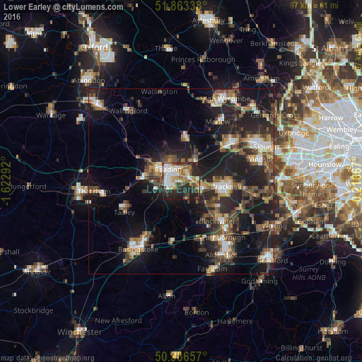
Analysis of Lower Earley night lights 2016
Square area 10x10 km:
 11.1%
11.1%90-99
12.83%80-89
4.55%70-79
8.56%60-69
7.89%50-59
7.49%40-49
7.49%30-39
7.49%20-29
21.39%10-19
11.23%0-9
0%Square area 50x50 km:
2.34%90-99
2.92%80-89
1.52%70-79
2.29%60-69
3.15%50-59
3.62%40-49
4.57%30-39
4.05%20-29
9.17%10-19
17.78%0-9
48.6%Clear (daylight) street map image can be seen on geolist.org.
Map coordinates:
51° 51' 48.2" North, 1° 37' 22.5" West
51° 25' 37.5" North, 0° 55' 11.2" West
50° 59' 11.7" North, 0° 13' 0" West
Some cities around Lower Earley sort by population:
• Reading
4.8 km =3 mi,  312°
312°
• Bracknell
11.8 km =7.3 mi,  97°
97°
• Wokingham
6.1 km =3.8 mi,  106°
106°
• Crowthorne
10.9 km =6.8 mi,  125°
125°
• Yateley
11.2 km =7 mi,  146°
146°
• Henley-on-Thames
11.9 km =7.4 mi,  6°
6°
• Calcot
9.2 km =5.7 mi,  279°
279°
• Twyford
6.7 km =4.2 mi,  37°
37°
7290015 (p: 32,000)
Sources (retrieved 2019-11-25):
» Earth at Night: Flat Maps 2012, 2016