Winchester night lights from space
Night Light of Winchester (England) from space (United Kingdom) Src. Average luminocity for 10x10km area is 10.2687% and for 50x50km: 10.8827%.
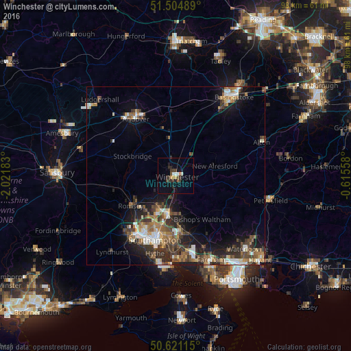
Analysis of Winchester night lights 2016
Square area 10x10 km:
 0.67%
0.67%90-99
1.47%80-89
0.53%70-79
1.07%60-69
0.53%50-59
1.34%40-49
2.14%30-39
3.74%20-29
2.41%10-19
2.27%0-9
83.82%Square area 50x50 km:
1.36%90-99
1.84%80-89
0.67%70-79
1.13%60-69
1.75%50-59
2%40-49
2.09%30-39
2.36%20-29
3.14%10-19
6.21%0-9
77.47%Clear (daylight) street map image can be seen on geolist.org.
Map coordinates:
51° 30' 17.6" North, 2° 1' 18.6" West
51° 3' 54.5" North, 1° 19' 7.3" West
50° 37' 16.1" North, 0° 36' 56.1" West
Some cities around Winchester sort by population:
• Southampton
18.9 km =11.7 mi,  198°
198°
• Eastleigh
11.2 km =7 mi,  191°
191°
• Hedge End
17 km =10.6 mi,  175°
175°
• Bishopstoke
11 km =6.8 mi, 183°
• Romsey
15.2 km =9.4 mi,  236°
236°
• North Baddesley
13.2 km =8.2 mi,  222°
222°
• Bishops Waltham
14.2 km =8.8 mi,  149°
149°
• New Alresford
10.6 km =6.6 mi,  77°
77°
2633858 (p: 46,074)
Sources (retrieved 2019-11-25):
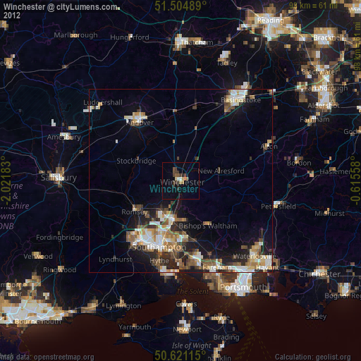
» Earth at Night: Flat Maps 2012, 2016