North Baddesley night lights from space
Night Light of North Baddesley (England) from space (United Kingdom) Src. Average luminocity for 10x10km area is 34.3179% and for 50x50km: 11.0284%.
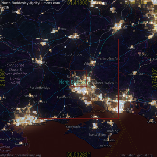
Analysis of North Baddesley night lights 2016
Square area 10x10 km:
 2.52%
2.52%90-99
2.66%80-89
3.64%70-79
3.92%60-69
10.22%50-59
7%40-49
6.16%30-39
8.12%20-29
11.62%10-19
25.49%0-9
18.63%Square area 50x50 km:
1.23%90-99
1.7%80-89
0.82%70-79
1.1%60-69
1.57%50-59
1.92%40-49
2.12%30-39
2.55%20-29
3.15%10-19
7.55%0-9
76.29%Clear (daylight) street map image can be seen on geolist.org.
Map coordinates:
51° 25' 5" North, 2° 8' 55" West
50° 58' 38.8" North, 1° 26' 43.7" West
50° 31' 57.5" North, 0° 44' 32.5" West
Some cities around North Baddesley sort by population:
• Southampton
8.7 km =5.4 mi,  160°
160°
• Eastleigh
6.8 km =4.2 mi,  100°
100°
• Totton
7.2 km =4.5 mi,  205°
205°
• Hedge End
12.5 km =7.8 mi,  125°
125°
• Bishopstoke
8.3 km =5.2 mi, 98°
• Romsey
4 km =2.5 mi,  288°
288°
• Netley
12.9 km =8 mi,  150°
150°
• Marchwood
9.8 km =6.1 mi,  183°
183°
8131591 (p: 6,823)
Sources (retrieved 2019-11-25):
» Earth at Night: Flat Maps 2012, 2016