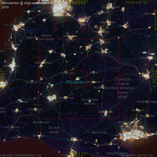
Wincanton night lights from space
Night Light of Wincanton (England) from space (United Kingdom) Src. Average luminocity for 10x10km area is 3.2059% and for 50x50km: 3.6515%.
Analysis of Wincanton night lights 2016
Square area 10x10 km:
 0.27%
0.27%90-99
0.94%80-89
0.4%70-79
0%60-69
0.53%50-59
0%40-49
0.94%30-39
0.27%20-29
1.47%10-19
0%0-9
95.19%Square area 50x50 km:
0.29%90-99
0.56%80-89
0.44%70-79
0.46%60-69
0.58%50-59
0.5%40-49
0.64%30-39
0.35%20-29
0.55%10-19
1.37%0-9
94.27%Clear (daylight) street map image can be seen on geolist.org.
Map coordinates:
51° 29' 47.8" North, 3° 6' 31.9" West
51° 3' 24.3" North, 2° 24' 20.7" West
50° 36' 45.7" North, 1° 42' 9.4" West
Some cities around Wincanton sort by population:
• Yeovil
20.4 km =12.7 mi,  231°
231°
• Frome
19.9 km =12.4 mi,  17°
17°
• Warminster
22.8 km =14.2 mi,  43°
43°
• Shepton Mallet
17.8 km =11.1 mi,  326°
326°
• Sherborne
14.6 km =9.1 mi,  212°
212°
• Gillingham
9.3 km =5.8 mi,  102°
102°
• Shaftesbury
15.9 km =9.9 mi,  111°
111°
• Manston
15.3 km =9.5 mi,  140°
140°
2633861 (p: 5,435)
Sources (retrieved 2019-11-25):
» Earth at Night: Flat Maps 2012, 2016