Yeovil night lights from space
Night Light of Yeovil (England) from space (United Kingdom) Src. Average luminocity for 10x10km area is 20.4454% and for 50x50km: 2.7939%.
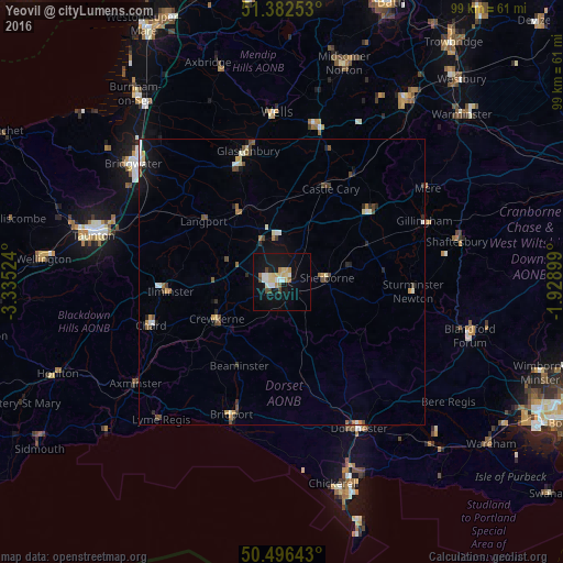
Analysis of Yeovil night lights 2016
Square area 10x10 km:
 3.64%
3.64%90-99
2.52%80-89
5.74%70-79
1.82%60-69
1.26%50-59
0.7%40-49
2.8%30-39
0%20-29
0.7%10-19
24.23%0-9
56.58%Square area 50x50 km:
0.33%90-99
0.43%80-89
0.36%70-79
0.31%60-69
0.25%50-59
0.32%40-49
0.63%30-39
0.23%20-29
0.41%10-19
1.73%0-9
95.01%Clear (daylight) street map image can be seen on geolist.org.
Map coordinates:
51° 22' 57.1" North, 3° 20' 6.9" West
50° 56' 29.7" North, 2° 37' 55.6" West
50° 29' 47.1" North, 1° 55' 44.4" West
Some cities around Yeovil sort by population:
• Bridport
24.7 km =15.3 mi,  200°
200°
• Chard
24.6 km =15.3 mi,  251°
251°
• Street
21.7 km =13.5 mi,  339°
339°
• Sherborne
8 km =5 mi,  86°
86°
• Glastonbury
23.7 km =14.7 mi, 344°
• Crewkerne
13.2 km =8.2 mi,  240°
240°
• Ilminster
19.5 km =12.1 mi,  265°
265°
• Wincanton
20.4 km =12.7 mi,  51°
51°
2633373 (p: 45,784)
Sources (retrieved 2019-11-25):
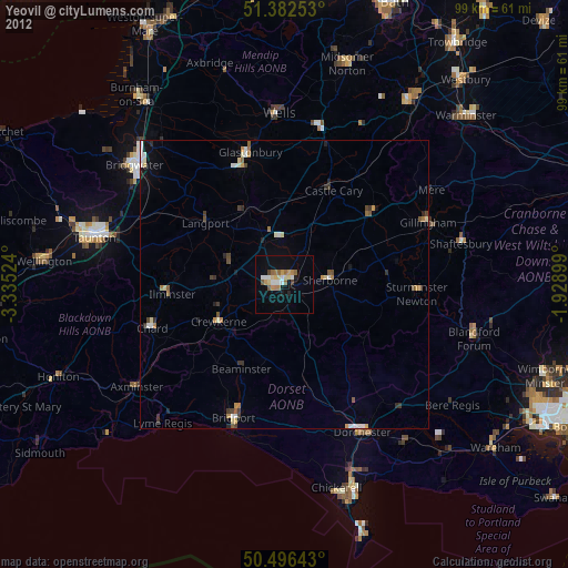
» Earth at Night: Flat Maps 2012, 2016