Manston night lights from space
Night Light of Manston (England) from space (United Kingdom) Src. Average luminocity for 10x10km area is 2.4426% and for 50x50km: 2.9682%.
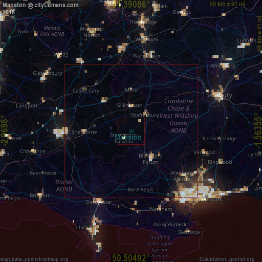
Analysis of Manston night lights 2016
Square area 10x10 km:
 0%
0%90-99
1.12%80-89
0%70-79
1.12%60-69
0%50-59
0%40-49
0.56%30-39
0%20-29
0%10-19
0%0-9
97.2%Square area 50x50 km:
0.28%90-99
0.54%80-89
0.36%70-79
0.46%60-69
0.34%50-59
0.41%40-49
0.43%30-39
0.55%20-29
0.82%10-19
1.14%0-9
94.67%Clear (daylight) street map image can be seen on geolist.org.
Map coordinates:
51° 23' 27.1" North, 2° 58' 11.3" West
50° 57' 0" North, 2° 16' 0" West
50° 30' 17.7" North, 1° 33' 48.8" West
Some cities around Manston sort by population:
• Yeovil
25.6 km =15.9 mi,  267°
267°
• Dorchester
28.5 km =17.7 mi,  204°
204°
• Wimborne Minster
27.2 km =16.9 mi,  132°
132°
• Blandford Forum
12.4 km =7.7 mi,  143°
143°
• Sherborne
17.6 km =10.9 mi, 268°
• Gillingham
9.8 km =6.1 mi,  356°
356°
• Shaftesbury
8 km =5 mi,  39°
39°
• Wincanton
15.3 km =9.5 mi,  320°
320°
2643095 (p: 5,261)
Sources (retrieved 2019-11-25):
» Earth at Night: Flat Maps 2012, 2016