Basildon night lights from space
Night Light of Basildon (England) from space (United Kingdom) Src. Average luminocity for 10x10km area is 50.9345% and for 50x50km: 32.7771%.
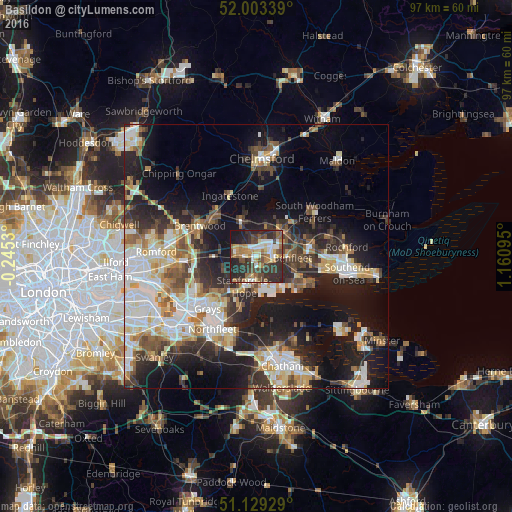
Analysis of Basildon night lights 2016
Square area 10x10 km:
 7.09%
7.09%90-99
6.95%80-89
6.82%70-79
5.48%60-69
9.76%50-59
8.82%40-49
9.76%30-39
13.64%20-29
23.93%10-19
7.75%0-9
0%Square area 50x50 km:
6.1%90-99
7.06%80-89
3.75%70-79
3.8%60-69
3.6%50-59
3.83%40-49
4.35%30-39
4.74%20-29
9.71%10-19
17.5%0-9
35.56%Clear (daylight) street map image can be seen on geolist.org.
Map coordinates:
52° 0' 12.2" North, 0° 14' 43.1" West
51° 34' 6.4" North, 0° 27' 28.2" East
51° 7' 45.4" North, 1° 9' 39.4" East
Some cities around Basildon sort by population:
• South Benfleet
7.2 km =4.5 mi,  103°
103°
• Canvey Island
10 km =6.2 mi,  121°
121°
• Billericay
7.2 km =4.5 mi,  338°
338°
• Wickford
6.5 km =4 mi,  43°
43°
• Rayleigh
10.3 km =6.4 mi,  79°
79°
• Stanford-le-Hope
5.3 km =3.3 mi,  197°
197°
• Pitsea
3.5 km =2.2 mi, 98°
• East Tilbury
10.2 km =6.3 mi, 196°
2656194 (p: 144,859)
Sources (retrieved 2019-11-25):
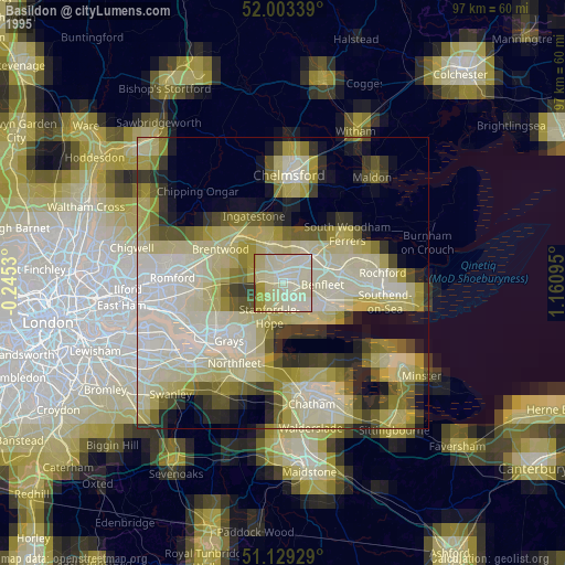
» NASA, Earths city lights 1995
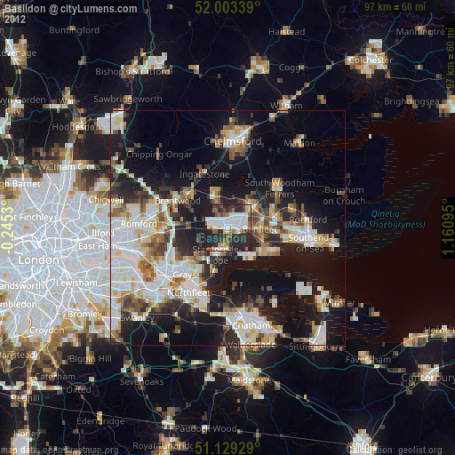
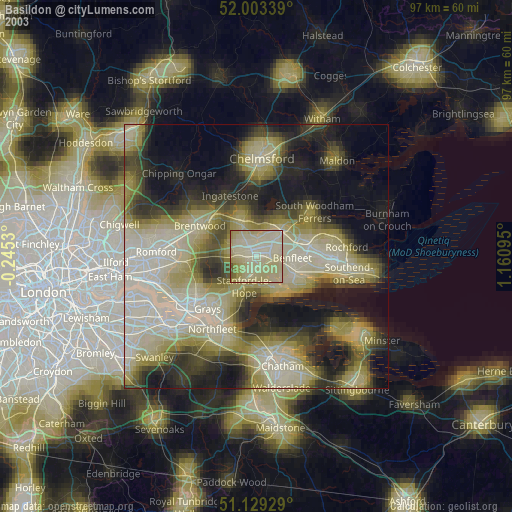
» NASA city lights 2003
» Earth at Night: Flat Maps 2012, 2016