Stanford-le-Hope night lights from space
Night Light of Stanford-le-Hope (England) from space (United Kingdom) Src. Average luminocity for 10x10km area is 46.5949% and for 50x50km: 35.9139%.
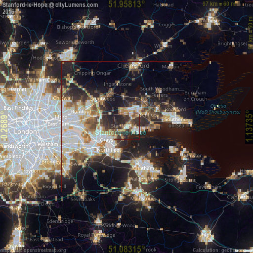
Analysis of Stanford-le-Hope night lights 2016
Square area 10x10 km:
 5.48%
5.48%90-99
6.42%80-89
5.21%70-79
5.88%60-69
7.89%50-59
4.81%40-49
12.97%30-39
11.76%20-29
27.27%10-19
12.3%0-9
0%Square area 50x50 km:
6.95%90-99
7.59%80-89
4.11%70-79
4.21%60-69
4.11%50-59
4.05%40-49
4.6%30-39
5.43%20-29
10.46%10-19
19.01%0-9
29.47%Clear (daylight) street map image can be seen on geolist.org.
Map coordinates:
51° 57' 29.3" North, 0° 16' 8" West
51° 31' 21.9" North, 0° 26' 3.2" East
51° 4' 59.3" North, 1° 8' 14.5" East
Some cities around Stanford-le-Hope sort by population:
• Basildon
5.3 km =3.3 mi,  17°
17°
• Grays
9.2 km =5.7 mi,  235°
235°
• Gravesend
10 km =6.2 mi,  205°
205°
• South Benfleet
9.3 km =5.8 mi,  68°
68°
• Pitsea
6.9 km =4.3 mi,  48°
48°
• Tilbury
8.5 km =5.3 mi,  218°
218°
• Chadwell St Mary
6.7 km =4.2 mi,  226°
226°
• East Tilbury
4.8 km =3 mi,  194°
194°
2637087 (p: 28,725)
Sources (retrieved 2019-11-25):
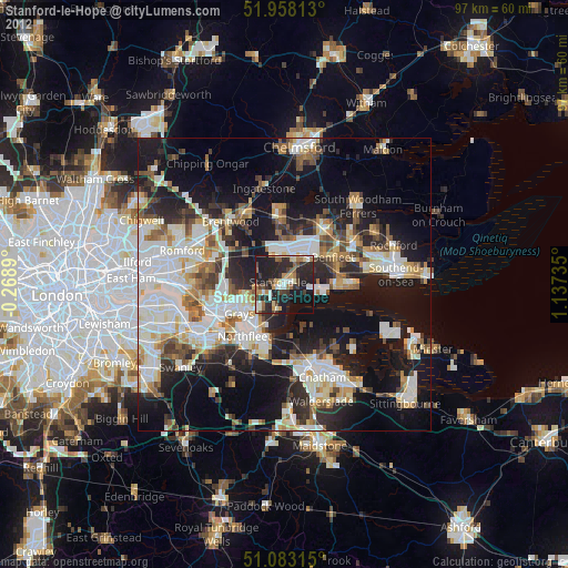
» Earth at Night: Flat Maps 2012, 2016