Elgin night lights from space
Night Light of Elgin (Scotland) from space (United Kingdom) Src. Average luminocity for 10x10km area is 12.9095% and for 50x50km: 1.0253%.
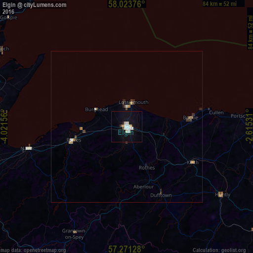
Analysis of Elgin night lights 2016
Square area 10x10 km:
 3.33%
3.33%90-99
2.98%80-89
1.79%70-79
0%60-69
0.95%50-59
0%40-49
0.24%30-39
0.6%20-29
0.6%10-19
12.98%0-9
76.55%Square area 50x50 km:
0.16%90-99
0.15%80-89
0.11%70-79
0.06%60-69
0.13%50-59
0.09%40-49
0.16%30-39
0.17%20-29
0.24%10-19
0.55%0-9
98.18%Clear (daylight) street map image can be seen on geolist.org.
Map coordinates:
58° 1' 25.5" North, 4° 1' 17.6" West
57° 38' 58.1" North, 3° 19' 6.3" West
57° 16' 16.6" North, 2° 36' 55.1" West
Some cities around Elgin sort by population:
• Inverness
57.2 km =35.5 mi,  250°
250°
• Forres
18.5 km =11.5 mi,  256°
256°
• Nairn
34.3 km =21.3 mi, 257°
• Buckie
21.4 km =13.3 mi,  82°
82°
• Lossiemouth
8.3 km =5.2 mi,  14°
14°
• Alness
55.9 km =34.7 mi,  275°
275°
• Westhill
53.3 km =33.1 mi, 248°
• Turriff
52.7 km =32.7 mi,  103°
103°
2650122 (p: 22,980)
Sources (retrieved 2019-11-25):
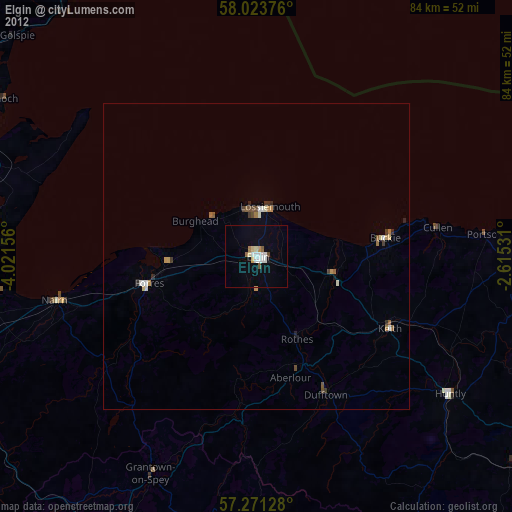
» Earth at Night: Flat Maps 2012, 2016