Westhill night lights from space
Night Light of Westhill (Scotland) from space (United Kingdom) Src. Average luminocity for 10x10km area is 22.8536% and for 50x50km: 2.3325%.
Analysis of Westhill night lights 2016
Square area 10x10 km:
 5.36%
5.36%90-99
5.12%80-89
1.55%70-79
2.02%60-69
3.33%50-59
1.07%40-49
2.02%30-39
1.43%20-29
6.67%10-19
21.07%0-9
50.36%Square area 50x50 km:
0.31%90-99
0.41%80-89
0.2%70-79
0.16%60-69
0.31%50-59
0.36%40-49
0.39%30-39
0.28%20-29
0.54%10-19
1.7%0-9
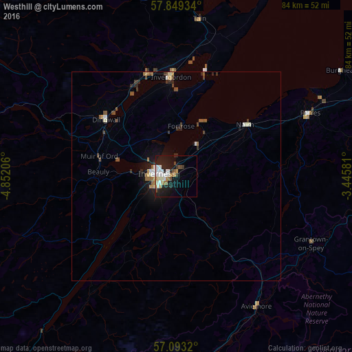
95.34%Clear (daylight) street map image can be seen on geolist.org.
Map coordinates:
57° 50' 57.6" North, 4° 51' 7.4" West
57° 28' 23.6" North, 4° 8' 56.1" West
57° 5' 35.5" North, 3° 26' 44.9" West
Some cities around Westhill sort by population:
• Inverness
4.5 km =2.8 mi,  278°
278°
• Elgin
53.3 km =33.1 mi,  68°
68°
• Forres
35 km =21.7 mi,  64°
64°
• Nairn
20 km =12.4 mi,  53°
53°
• Buckie
74.2 km =46.1 mi, 72°
• Lossiemouth
58.5 km =36.4 mi, 61°
• Alness
25.6 km =15.9 mi,  345°
345°
• Dingwall
21.5 km =13.4 mi,  309°
309°
11592297 (p: 5,270)
Sources (retrieved 2019-11-25):
» Earth at Night: Flat Maps 2012, 2016