Inverness night lights from space
Night Light of Inverness (Scotland) from space (United Kingdom) Src. Average luminocity for 10x10km area is 32.6179% and for 50x50km: 2.3894%.

Analysis of Inverness night lights 2016
Square area 10x10 km:
 6.9%
6.9%90-99
6.9%80-89
2.74%70-79
2.98%60-69
6.43%50-59
2.38%40-49
1.43%30-39
0.95%20-29
8.33%10-19
34.17%0-9
26.79%Square area 50x50 km:
0.32%90-99
0.42%80-89
0.21%70-79
0.16%60-69
0.32%50-59
0.37%40-49
0.4%30-39
0.3%20-29
0.55%10-19
1.7%0-9
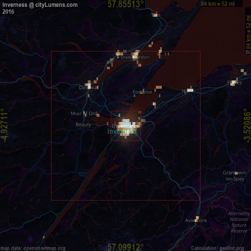
95.25%Clear (daylight) street map image can be seen on geolist.org.
Map coordinates:
57° 51' 18.5" North, 4° 55' 37.6" West
57° 28' 44.7" North, 4° 13' 26.3" West
57° 5' 56.8" North, 3° 31' 15.1" West
Some cities around Inverness sort by population:
• Elgin
57.2 km =35.5 mi,  70°
70°
• Forres
38.8 km =24.1 mi, 67°
• Nairn
23.5 km =14.6 mi,  61°
61°
• Buckie
78.3 km =48.7 mi, 73°
• Lossiemouth
62.2 km =38.6 mi, 64°
• Alness
24.2 km =15 mi,  355°
355°
• Dingwall
17.7 km =11 mi,  316°
316°
• Westhill
4.5 km =2.8 mi,  98°
98°
2646088 (p: 46,870)
Sources (retrieved 2019-11-25):
» Earth at Night: Flat Maps 2012, 2016