Dingwall night lights from space
Night Light of Dingwall (Scotland) from space (United Kingdom) Src. Average luminocity for 10x10km area is 4.9893% and for 50x50km: 2.4121%.
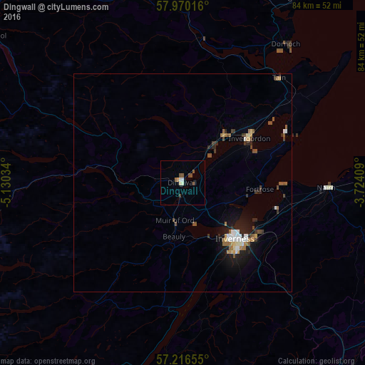
Analysis of Dingwall night lights 2016
Square area 10x10 km:
 0.24%
0.24%90-99
1.43%80-89
0.24%70-79
0.48%60-69
0%50-59
1.67%40-49
2.14%30-39
0%20-29
0%10-19
0%0-9
93.81%Square area 50x50 km:
0.32%90-99
0.35%80-89
0.22%70-79
0.17%60-69
0.34%50-59
0.47%40-49
0.4%30-39
0.27%20-29
0.55%10-19
1.65%0-9
95.26%Clear (daylight) street map image can be seen on geolist.org.
Map coordinates:
57° 58' 12.6" North, 5° 7' 49.2" West
57° 35' 43.1" North, 4° 25' 38" West
57° 12' 59.6" North, 3° 43' 26.7" West
Some cities around Dingwall sort by population:
• Inverness
17.7 km =11 mi,  136°
136°
• Elgin
66.3 km =41.2 mi,  84°
84°
• Forres
48 km =29.8 mi,  88°
88°
• Nairn
32.7 km =20.3 mi, 92°
• Buckie
87.6 km =54.4 mi, 84°
• Lossiemouth
69.5 km =43.2 mi, 78°
• Alness
15.2 km =9.4 mi,  42°
42°
• Westhill
21.5 km =13.4 mi,  129°
129°
2651245 (p: 5,520)
Sources (retrieved 2019-11-25):
» Earth at Night: Flat Maps 2012, 2016